England · United Kingdom
Military Road (Isle of Wight)
A3055Freshwater Bay to Chale
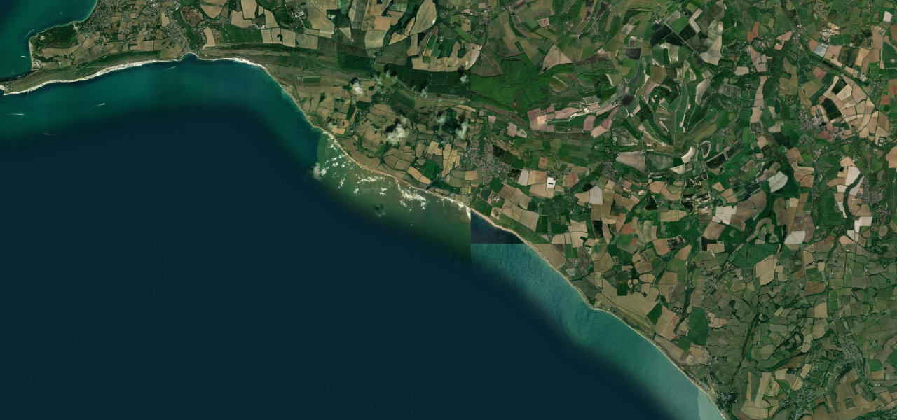
The A3055 follows the cliff tops of the Isle of Wight’s south-west coast from Freshwater Bay to Chale, fast and open with views across the Channel, on a line that coastal erosion has already forced it to move.
From Freshwater Bay the Military Road climbs out along the cliffs above Compton Bay, and as far as Brook it is a clearway where you may stop only in the five car parks. The bends are most interesting around Brook, while the long run east past Brighstone to Chale is open and very fast, with views across the English Channel. The surface is patchy in places, better in the west than the east, and there are many farm entrances. The road began around 1860 as a gated military track linking forts and barracks, was given to the island council around 1930 and rebuilt further inland, with the last section opened in March 1936. Erosion has since brought the cliff edge within a few metres of the carriageway near Brook and Afton, a sign near Compton Farm can be lit to close the road in a landslip, and the council calls its lifespan uncertain. The suggested time to drive it is early evening in late spring or early summer, when the verges are full of wildflowers.
Scenery
Best seasons
In these collections
Military Road (Isle of Wight) on the map10.3 mi · point to point
Navigate to the start: Apple Maps · Google Maps
Character
Corners
busiest around mile 2Elevation
under 4%4 to 8%over 8%3 to 82 mPoints of interest5 stops
- Freshwater BayBay at the western end of the Military Road.at the start
- Compton Bay Hanover Car ParkCar park above Compton Bay on the clearway section, one of the few places to stop.2.4 mi in
- Isle of Wight Pearl CafeCafé at the Isle of Wight Pearl, beside the road near Brighstone.5.0 mi in
- Whale ChineCar park at Whale Chine, near the Chale end of the road.9.2 mi in
- The Wight Mouse InnPub at Chale, at the eastern end of the Military Road.10 mi in
Hazards
- Cliff erosion, the road can close at short notice
- Clearway from Brook to Freshwater Bay, stop only in car parks
- Patchy surface and farm entrances
- Occasional closures for coast path and repair works
See the typical season and live conditions for the high passes ›
Sources
“The Island’s Military Road, stretching from Freshwater to Blackgang, has been named as one of the top 10 best driving holidays in Europe by The Telegraph.”
“The cavalcade of classic cars that plies this route, known as ‘The Military Road’, at weekends is, like Wight itself, a throwback to a bygone era.”
“Very fast through from Chale to Brighstone, then it gets a bit more interesting on the corner front, especially around Brook towards Freshwater.”
Route traced from OpenStreetMap, with its stats measured from that line. How the roads are mapped
Driving the Military Road (Isle of Wight): quick answers
How long does it take to drive the Military Road (Isle of Wight)?
How difficult is the Military Road (Isle of Wight) to drive?
When is the best time to drive the Military Road (Isle of Wight)?
Nearby roads
The closest great drives to Military Road (Isle of Wight).