Scotland · United Kingdom
Mull West Coast Road
B8073Calgary to Tobermory
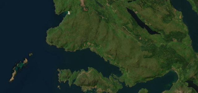
Winding coast road past Calgary Bay and Loch na Keal.
The B8073 hugs Mull’s north-west coast from Dervaig past the white sands of Calgary Bay and round to Loch na Keal beneath Ben More. It is a slow, twisting single-track road with frequent passing places. Mind the tight bends, steep coastal drops and slow-moving tourist vehicles.
Where it runs13.3 mi · point to point
CalgaryStart · Scotland
TobermoryEnd · Scotland
Navigate to the start: Apple Maps · Google Maps
Character
Corners70bends
Tightness7of 10
Max gradient12%≈ 1-in-8
Climb414 mtotal ascent
Summit179.4 mhighest point of the line · 589 ft
Corners
busiest around mile 6Elevation
under 4%4–8%over 8%3.9 – 179.4 mPoints of interest3 stops
- Eas Fors WaterfallLandmark10 mi in
- Creag a' Chaisteal, FortLandmark1.6 mi in
- Srón GharbhViewpoint13 mi in
Hazards
- Single-track bends
- Steep coastal drops
- Slow tourist traffic
Sources
“The B8073 winds its way anti-clockwise from Tobermory in a series of tortuous twists and turns as it follows the contours of the deeply indented coastline.”
Verified route: mapped from real road geometry and fact-checked by a human editor. How roads get checked
Driving the Mull West Coast Road: quick answers
How long does it take to drive the Mull West Coast Road?
Mull West Coast Road runs 13.3 miles (21 km) and takes about 29 min to drive without stops.
How difficult is the Mull West Coast Road to drive?
We rate it moderate: 70 corners, a maximum gradient of 12%, and a tightness of 7 out of 10.
When is the best time to drive the Mull West Coast Road?
Spring and Summer and Autumn are best.
Nearby roads
The closest great drives to Mull West Coast Road.
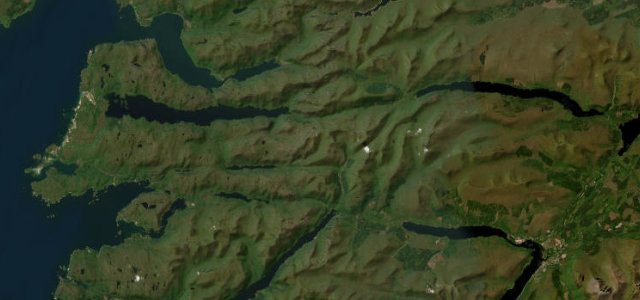
Mull West Coast Road
DirectionsGet the app