Trentino-Alto Adige · Italy
Passo Manghen
SP31Telve to Molina di Fiemme
A quiet, demanding climb over the Lagorai in Trentino.
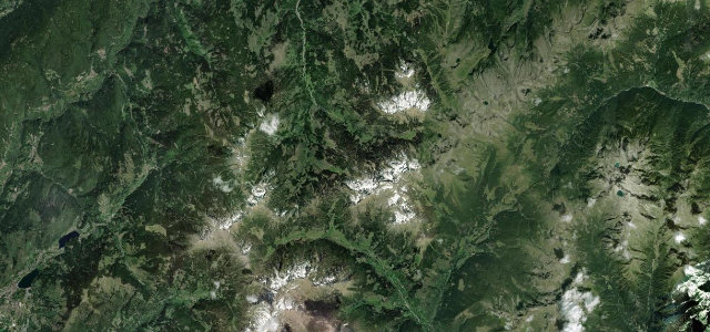
The SP31 crosses the Passo Manghen over the Lagorai range between the Valsugana and the Val di Fiemme, a narrow, steep and lightly-travelled pass through deep forest to an open summit above 2,000 m. Open in the warmer months; mind the tight surface, the gradient, and fog at the top.
Where it runs13.3 mi · point to point
TelveStart · Trentino-Alto Adige
Molina di FiemmeEnd · Trentino-Alto Adige
Navigate to the start: Apple Maps · Google Maps
Character
Corners38bends
Tightness7of 10
Max gradient11%≈ 1-in-9
Hairpins19tight bends
Climb882 mtotal ascent
Summit2,034.7 mhighest point of the line · 6,676 ft
Corners
busiest around mile 7Elevation
under 4%4–8%over 8%1,067.3 – 2,034.7 mFrom the road
Points of interest3 stops
- Passo ManghenViewpoint6.3 mi in
- Cima Di ValsoleroViewpoint5.9 mi in
- ManghenétiViewpoint5.2 mi in
Hazards
- Narrow with steep gradients
- Fog at the summit
- Little traffic if you break down
Sources
“Up to the top of the pass, the road goes steeply uphill in numerous narrow curves and hairpin bends.”
Verified route: mapped from real road geometry and fact-checked by a human editor. How roads get checked
Driving the Passo Manghen: quick answers
How long does it take to drive the Passo Manghen?
Passo Manghen runs 13.3 miles (21 km) and takes about 29 min to drive without stops.
How difficult is the Passo Manghen to drive?
We rate it demanding: 38 corners including 19 hairpins, a maximum gradient of 11%, and a tightness of 7 out of 10.
When is the best time to drive the Passo Manghen?
Summer and Autumn are best.
Nearby roads
The closest great drives to Passo Manghen.
Passo Manghen
DirectionsGet the app