Trentino-Alto Adige · Italy
Passo di Lavazè
SS620Cavalese to Nova Levante
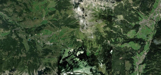
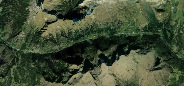
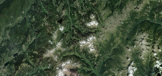
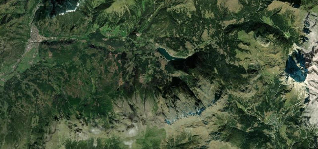
Forested plateau pass linking Val di Fiemme and Val d’Ega beneath the Latemar.
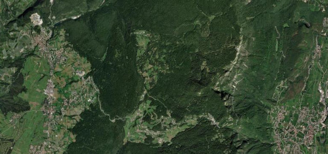
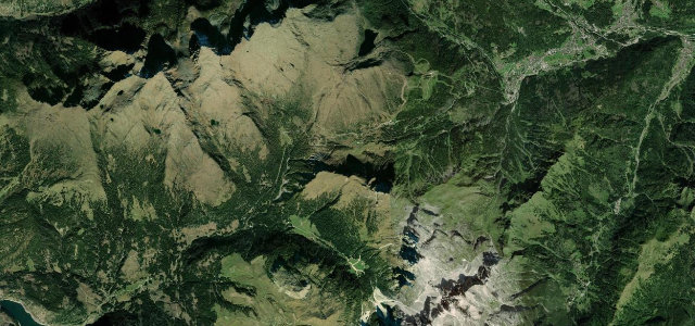
The SS620 climbs from Cavalese in the Val di Fiemme through dense larch and fir forest to the open plateau of Passo di Lavazè at about 1808 m, then drops toward Nova Levante in the Val d’Ega. It is a flowing, well-surfaced drive with the Latemar and Catinaccio massifs framing the summit clearing. Gradients are moderate and the bends are steady rather than savage. Mind the wandering wildlife in the forest sections, the patchy frost and shade on the climb, and winter closures or icy stretches outside summer.
Where it runs13.6 mi · point to point
Navigate to the start: Apple Maps · Google Maps
Character
Corners
busiest around mile 1Elevation
under 4%4–8%over 8%909.8 – 1,817.2 mFrom the road
Points of interest3 stops
- Passo di LavazèViewpoint6.0 mi in
- Koregg – Monte QuairaViewpoint12 mi in
- PagodaViewpoint0.3 mi in
Hazards
- Wildlife in forest
- Shaded icy patches
- Winter snow
Sources
“From the pass you can stare at a whole panorama over Catinaccio and Latemar, dolomitic peaks that, at every sunset, offer a natural show: the Alpenglow.”
Verified route: mapped from real road geometry and fact-checked by a human editor. How roads get checked
Driving the Passo di Lavazè: quick answers
How long does it take to drive the Passo di Lavazè?
How difficult is the Passo di Lavazè to drive?
When is the best time to drive the Passo di Lavazè?
Nearby roads
The closest great drives to Passo di Lavazè.