Valais · Switzerland
Simplon Pass
9Brig-Glis to Gondo
Napoleon-built Alpine trade route, wide sweeping curves, open year-round.
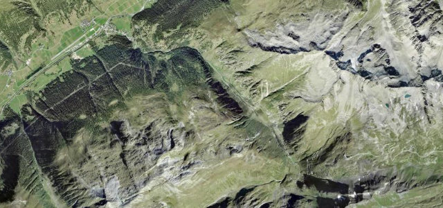
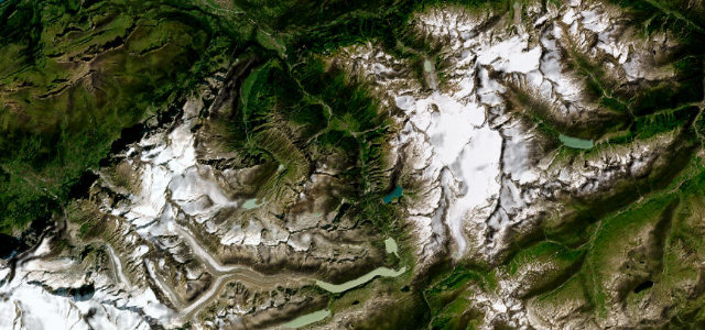
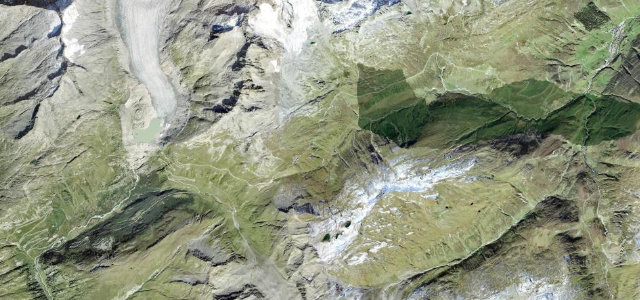
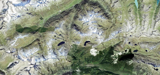
The Simplon Pass (2,005 m) carries Swiss main road 9 from Brig in the Valais over the Alps to the Italian border at Gondo, and was built on Napoleon’s orders between 1800 and 1805. Unlike the tight hairpin passes nearby it is broad and fast, flowing with sweeping curves past the Simplon Hospice and crossing the striking Ganter Bridge. Maximum gradient is around 9-11%; it is one of the few Alpine passes kept open all year, but winter snow, ice and sudden weather closures are real risks.
Where it runs24.7 mi · point to point
Navigate to the start: Apple Maps · Google Maps
Character
Corners
busiest around mile 24Elevation
approximateunder 4%4–8%over 8%722.9 – 2,007.1 mFrom the road
Points of interest3 stops
- SimplonpassViewpoint13 mi in
- GanterbrückeLandmark7.2 mi in
- Ruine StockalperturmLandmark21 mi in
Hazards
- Year-round but prone to snow and ice in winter
- Fast sweeping bends encourage excess speed
- Sudden weather changes and fog at altitude
Sources
“The road curves gently around the mountain's topography, giving drivers some truly wondrous views of the frozen mountain slopes on the Swiss side and the verdant tree-lined valley on the Italian side.”
Verified route: mapped from real road geometry and fact-checked by a human editor. How roads get checked
Driving the Simplon Pass: quick answers
How long does it take to drive the Simplon Pass?
How difficult is the Simplon Pass to drive?
When is the best time to drive the Simplon Pass?
Nearby roads
The closest great drives to Simplon Pass.