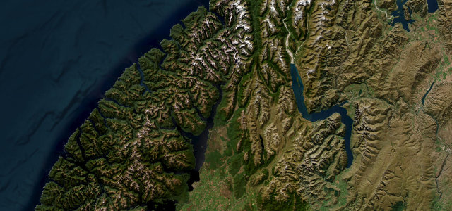
Day-trip range
Driving roads near Queenstown
7 great driving roads within 100 miles of Queenstown, hand-picked and fact-checked. The closest is The Remarkables Ski Road, 4 miles out. Distances are straight-line, so drive times will vary.
 Danseys Pass Road32 mi · 1 h 10 min · 932 m summitView the roadbook ›
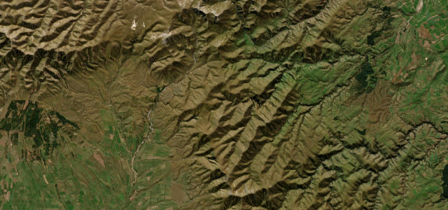
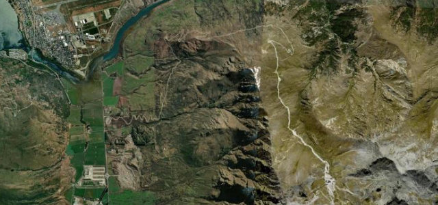
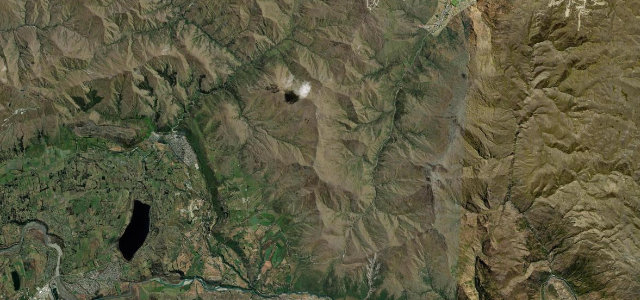
The roads, closest first
Near other cities
Driving near Queenstown: common questions
What is the best driving road near Queenstown?
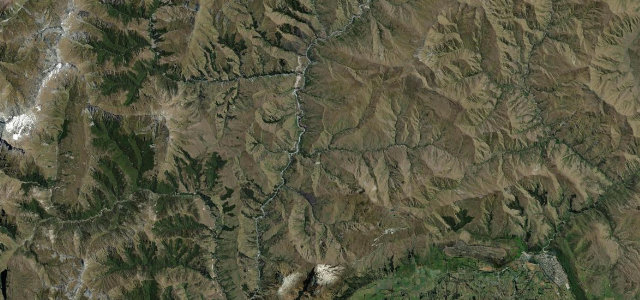
Danseys Pass Road, about 73 miles from Queenstown as the crow flies. Remote tussock gravel pass over the Kakanui Mountains linking Naseby and the Waitaki.
How many great driving roads are within 100 miles of Queenstown?
7 of the roads in our catalogue pass within 100 miles of Queenstown, every one mapped from real road geometry and fact-checked.
What is the closest great driving road to Queenstown?
The Remarkables Ski Road, about 4 miles away. A relentless switchback climb from the Kawarau valley to the Remarkables ski base, one of the highest roads you can drive in New Zealand.