Day-trip range
Driving roads near Reykjavik
3 great driving roads within 100 miles of Reykjavik, hand-picked and fact-checked. The closest is Kjölur Highland Route, 56 miles out. Distances are straight-line, so drive times will vary.
 Kjölur Highland Route103 mi · 3 h 36 min · 661 m summitView the roadbook ›
The roads, closest first
Near other cities
Driving near Reykjavik: common questions
What is the best driving road near Reykjavik?
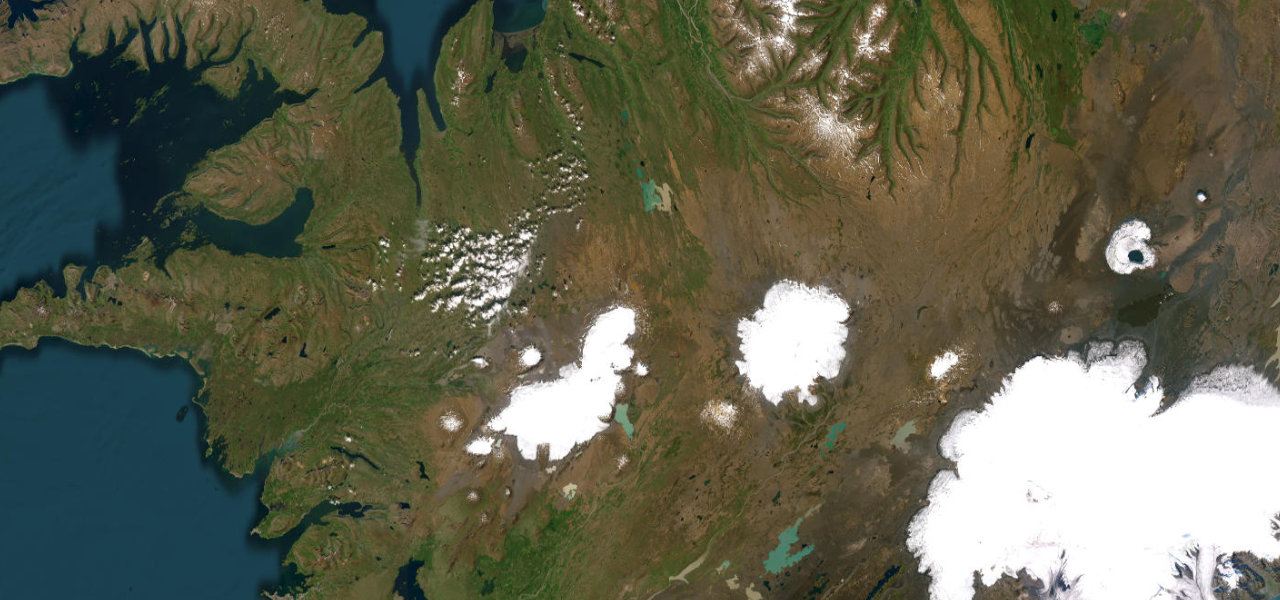
Kjölur Highland Route, about 56 miles from Reykjavik as the crow flies. Iceland’s most celebrated highland crossing, threading the Kjölur plateau between two massive ice caps through geothermal hot springs and ancient wilderness.
How many great driving roads are within 100 miles of Reykjavik?
3 of the roads in our catalogue pass within 100 miles of Reykjavik, every one mapped from real road geometry and fact-checked.
What is the closest great driving road to Reykjavik?
Kjölur Highland Route, about 56 miles away. Iceland’s most celebrated highland crossing, threading the Kjölur plateau between two massive ice caps through geothermal hot springs and ancient wilderness.