Day-trip range
Driving roads near Glasgow
38 great driving roads within 100 miles of Glasgow, hand-picked and fact-checked. The closest is The Duke’s Pass, 22 miles out. Distances are straight-line, so drive times will vary.
 Glencoe8 mi · 16 min · 20 cornersView the roadbook ›
The roads, closest first
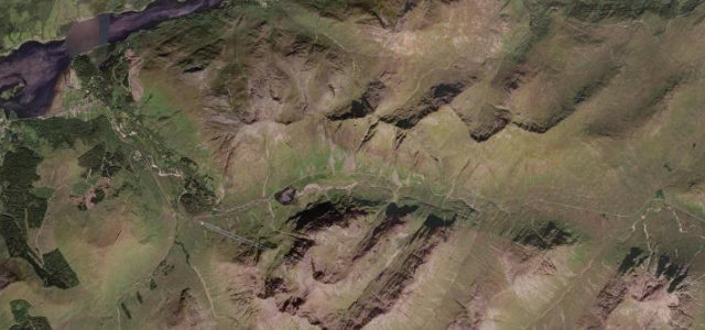
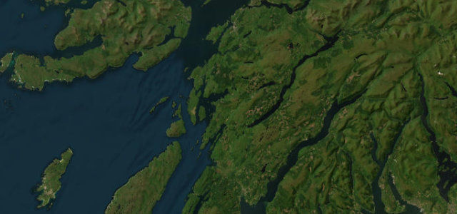
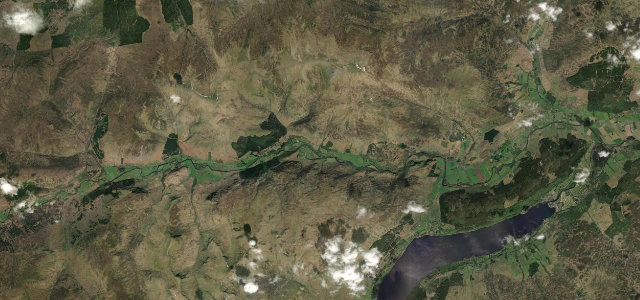
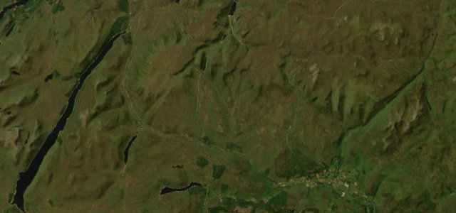
The Duke's Pass
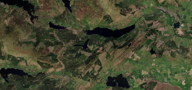
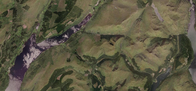
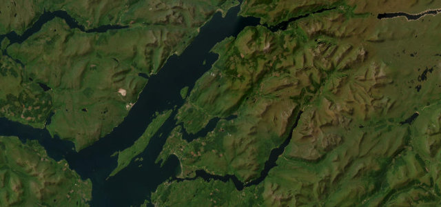
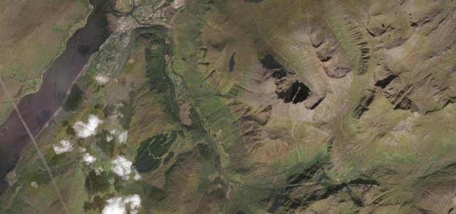
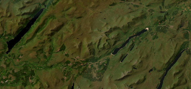
Loch Lomond
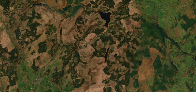
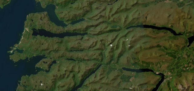
Loch Eck
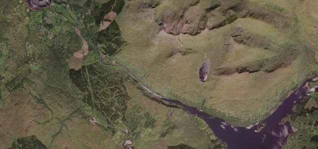
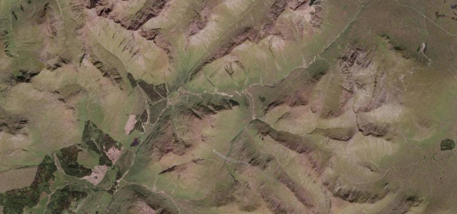
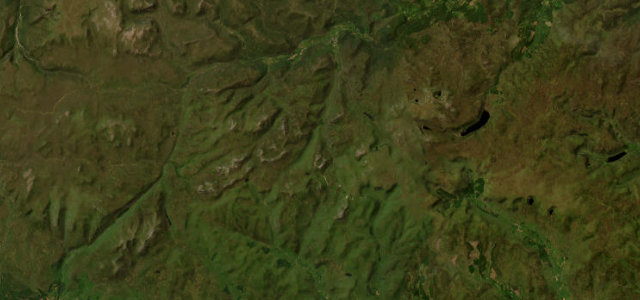
Rest and Be Thankful
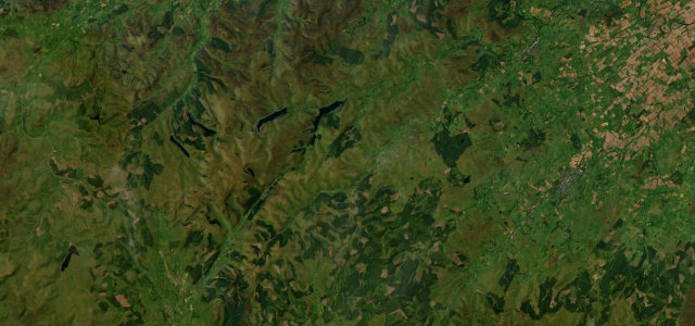
Glen Ogle
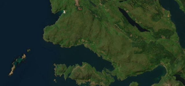
Arran Coast Road
Glen Aray
Oban to Lochgilphead
Grey Mare's Tail & St Mary's Loch
Pass of Brander
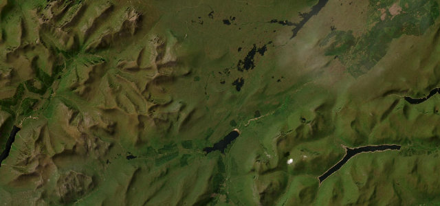
Rannoch Moor
Glen Lyon
The Queen's Way
Glen Etive
Appin Coast
Pass of Drumochter
Glen Nevis Road
Carter Bar
Cairnwell Pass
Loch Laggan
Road to the Isles
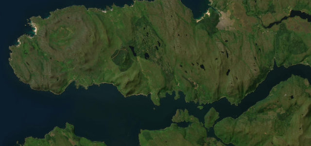
Mull West Coast Road
Ardnamurchan Peninsula Road
All 713 roads in the catalogue ›
Near other cities
All 130 roads in the United Kingdom ›
Driving near Glasgow: common questions
What is the best driving road near Glasgow?
Glencoe, about 61 miles from Glasgow as the crow flies. The A82 sweeps through Scotland’s most storied glen, ringed by brooding peaks.
How many great driving roads are within 100 miles of Glasgow?
38 of the roads in our catalogue pass within 100 miles of Glasgow, every one mapped from real road geometry and fact-checked.
What is the closest great driving road to Glasgow?
The Duke’s Pass, about 22 miles away. A twisting climb through the Trossachs between Aberfoyle and Callander.