Day-trip range
Driving roads near Inverness
38 great driving roads within 100 miles of Inverness, hand-picked and fact-checked. The closest is Loch Ness South Military Road, 10 miles out. Distances are straight-line, so drive times will vary.
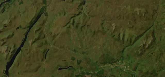
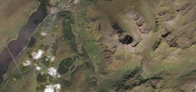
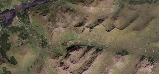
 Bealach na Bà7 mi · 18 min · 633 m summitView the roadbook ›
The roads, closest first
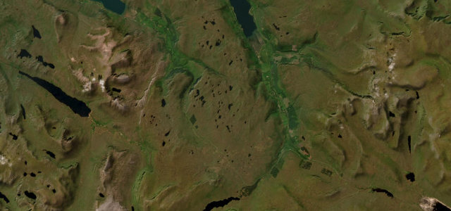
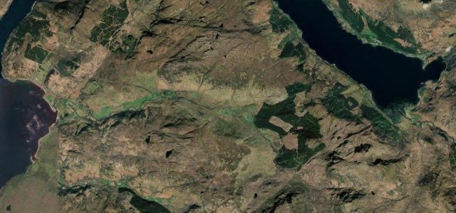
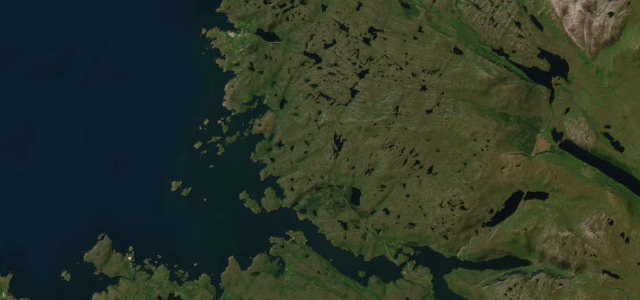
Loch Ness South Military Road
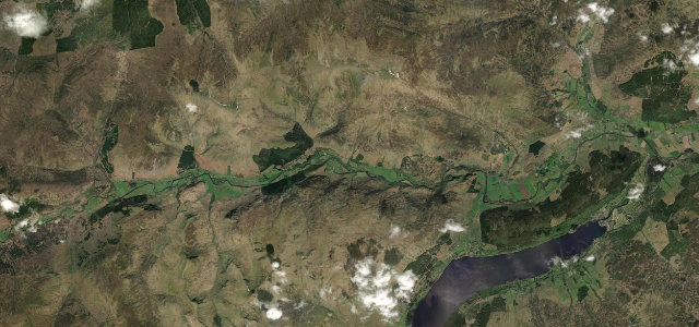
Dirrie More
Glen Affric
Cairngorm Mountain Road
Glen Carron
Loch Laggan
Braemore to Ullapool
Destitution Road
The Snow Road
Glen Shiel
Pass of Drumochter
Glen Torridon
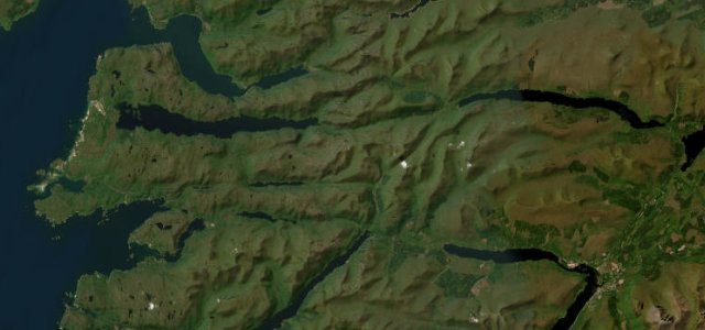
Loch Maree & Wester Ross
Cairnwell Pass
Assynt & Lochinver
Mam Ratagan to Glenelg
Road to the Isles
Glen Nevis Road
Glen Lyon
Kylesku
Glencoe
Glen Etive
Rannoch Moor
All 713 roads in the catalogue ›
Near other cities
All 130 roads in the United Kingdom ›
Driving near Inverness: common questions
What is the best driving road near Inverness?
Bealach na Bà, about 54 miles from Inverness as the crow flies. Britain’s most dramatic mountain pass, Alpine hairpins climbing from sea loch to a 626-metre summit.
How many great driving roads are within 100 miles of Inverness?
38 of the roads in our catalogue pass within 100 miles of Inverness, every one mapped from real road geometry and fact-checked.
What is the closest great driving road to Inverness?
Loch Ness South Military Road, about 10 miles away. General Wade’s military road along Loch Ness’s quiet shore.