Day-trip range
Driving roads near Salta
3 great driving roads within 100 miles of Salta. The closest is Cuesta del Obispo, 36 miles out. Distances are straight-line, so drive times will vary.
The roads, closest first
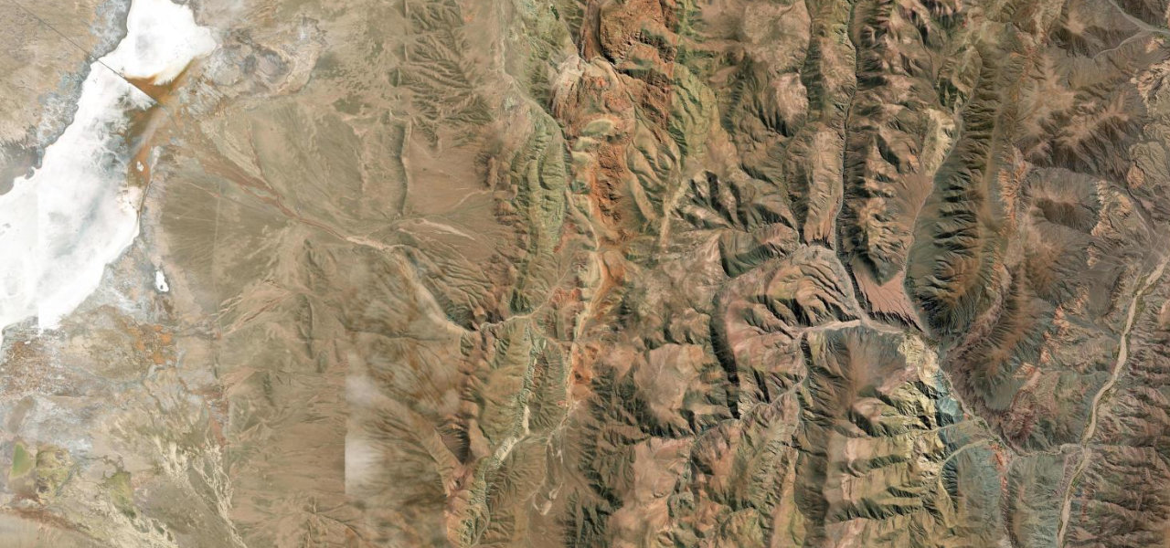 Cuesta de Lipán41 mi · 1 h 22 min · 17 hairpinsView the roadbook ›
Near other cities
Driving near Salta: common questions
What is the best driving road near Salta?
Cuesta de Lipán, about 72 miles from Salta as the crow flies. One of South America’s greatest high-altitude drives: a paved serpentine climb from the multi-coloured quebrada of Purmamarca to 4,170 m, then across the white expanse of the Salinas Grandes salt flat.
How many great driving roads are within 100 miles of Salta?
3 of the roads in our catalogue pass within 100 miles of Salta, every one traced from OpenStreetMap.
What is the closest great driving road to Salta?
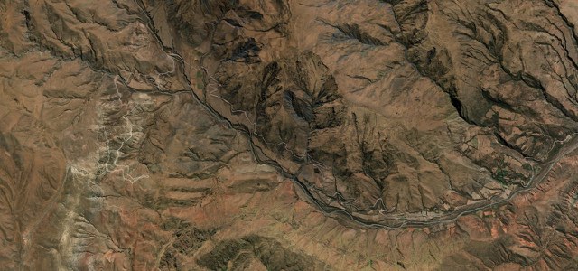
Cuesta del Obispo, about 36 miles away. Salta’s fog-wrapped climb to the Piedra del Molino at 3,348 m.