Day-trip range
Driving roads near Split
6 great driving roads within 100 miles of Split, hand-picked and fact-checked. The closest is Biokovo Road, 33 miles out. Distances are straight-line, so drive times will vary.
 Pag Island Karst Road19 mi · 37 min · 55 cornersView the roadbook ›
The roads, closest first
Biokovo Road
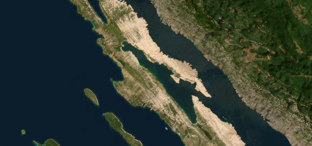
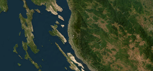
Pelješac Peninsula Road
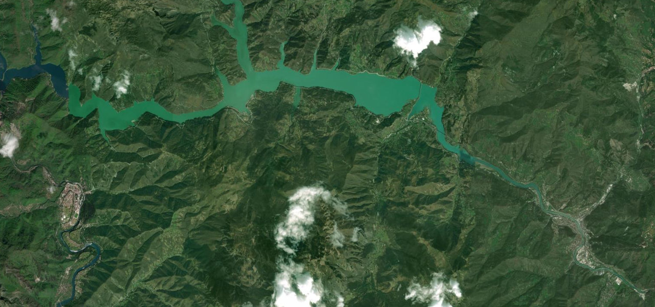
Neretva Canyon Road
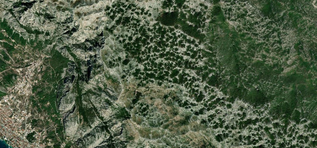
Plitvice Pogledalo Pass
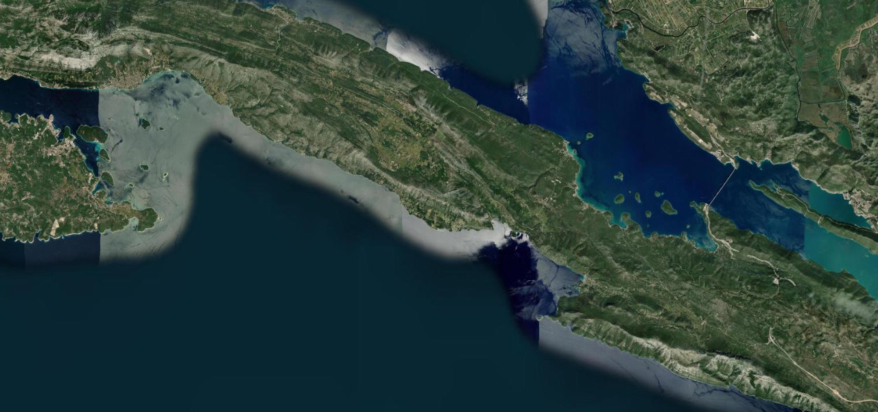
Adriatic Highway Velebit Coast
Near other cities
Driving near Split: common questions
What is the best driving road near Split?
Pag Island Karst Road, about 94 miles from Split as the crow flies. Lunar karst spine road from Pag town to Novalja
How many great driving roads are within 100 miles of Split?
6 of the roads in our catalogue pass within 100 miles of Split, every one mapped from real road geometry and fact-checked.
What is the closest great driving road to Split?
Biokovo Road, about 33 miles away. Croatia’s highest road, 23 km of hairpins from Makarska up to Sveti Jure and the Skywalk