England · United Kingdom
Dartmoor Crossing
B3212Teignbridge to West Devon
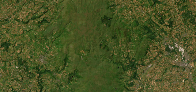
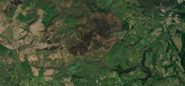
A lonely moorland road across the heart of Dartmoor past the prison at Princetown.
The B3212 crosses the wild heart of Dartmoor between Moretonhampstead and Yelverton, over open moor past Princetown. It is narrow with cattle grids and free-roaming ponies and sheep; drive slowly, especially at dusk and in mist.
Where it runs23.3 mi · point to point
TeignbridgeStart · England
West DevonEnd · England
Navigate to the start: Apple Maps · Google Maps
Character
Corners22bends
Tightness6of 10
Max gradient9%≈ 1-in-11
Climb804 mtotal ascent
Summit458.4 mhighest point of the line · 1,504 ft
Corners
busiest around mile 23Elevation
under 4%4–8%over 8%84.9 – 458.4 mPoints of interest3 stops
- Dartmoor Prison MuseumLandmark14 mi in
- Postbridge Clapper BridgeLandmark9.0 mi in
- Warren House InnFood and drink6.8 mi in
Hazards
- Free-roaming ponies and livestock
- Sudden moorland fog
- Narrow with cattle grids
Sources
“Dartmoor's breath taking scenery and an amazing road. Nuff said.”
Verified route: mapped from real road geometry and fact-checked by a human editor. How roads get checked
Driving the Dartmoor Crossing: quick answers
How long does it take to drive the Dartmoor Crossing?
Dartmoor Crossing runs 23.3 miles (37 km) and takes about 49 min to drive without stops.
How difficult is the Dartmoor Crossing to drive?
We rate it demanding: 22 corners, a maximum gradient of 9%, and a tightness of 6 out of 10.
When is the best time to drive the Dartmoor Crossing?
Spring and Summer and Autumn are best.
Nearby roads
The closest great drives to Dartmoor Crossing.
Dartmoor Crossing
DirectionsGet the app