England · United Kingdom
Tavistock to Dartmeet
B3357Tavistock to Dartmeet
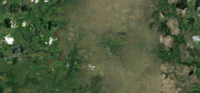
Twelve fast, open miles across western Dartmoor from Tavistock to Dartmeet, tors on every side. Livestock roam free up here, so you keep your speed to what you can see.
The B3357 climbs out of Tavistock onto western Dartmoor toward Dartmeet, a fast, open road across high moor with the tors all around. Livestock wander freely and the weather turns quickly; keep your speed to what you can see.
Where it runs12.0 mi · point to point
TavistockStart · England
DartmeetEnd · England
Navigate to the start: Apple Maps · Google Maps
Character
Corners16bends
Tightness5of 10
Max gradient9%≈ 1-in-11
Climb512 mtotal ascent
Summit454.6 mhighest point of the line · 1,491 ft
Corners
busiest around mile 8Elevation
under 4%4–8%over 8%86.7 – 454.6 mPoints of interest3 stops
- The Judge’s ChairLandmark10 mi in
- Hendra CampLandmark7.2 mi in
- T-A Boundary StoneLandmark4.8 mi in
Hazards
- Roaming livestock
- Open cattle grids
- Fog and wind
Sources
“The views down to Tavistock and across Devon to Cornwall are amazing.”
Verified route: mapped from real road geometry and fact-checked by a human editor. How roads get checked
Driving the Tavistock to Dartmeet: quick answers
How long does it take to drive the Tavistock to Dartmeet?
Tavistock to Dartmeet runs 12.0 miles (19 km) and takes about 24 min to drive without stops.
How difficult is the Tavistock to Dartmeet to drive?
We rate it moderate: 16 corners, a maximum gradient of 9%, and a tightness of 5 out of 10.
When is the best time to drive the Tavistock to Dartmeet?
Spring and Summer and Autumn are best.
Nearby roads
The closest great drives to Tavistock to Dartmeet.
Tavistock to Dartmeet
DirectionsGet the app