England · United Kingdom
Atlantic Highway
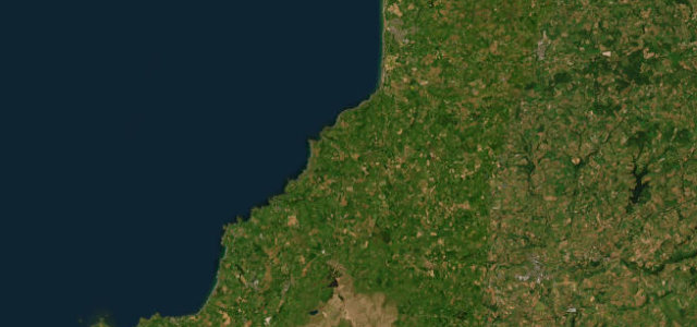
A39Marhamchurch to Tresinney
The wild north-Cornwall coast road above the Atlantic surf.
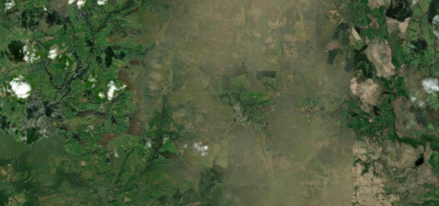
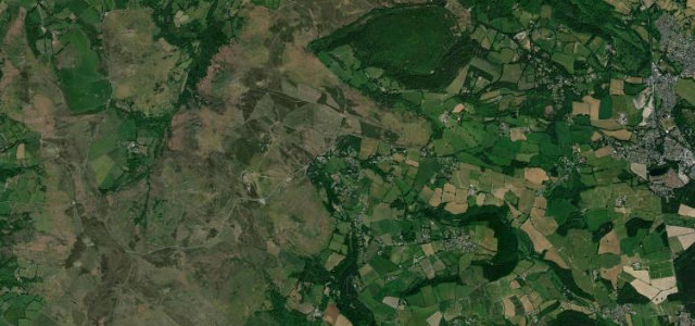
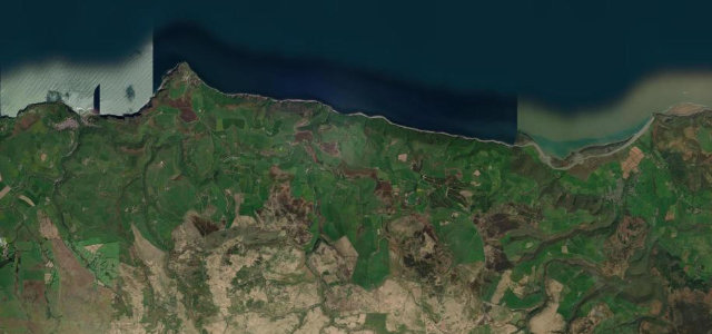
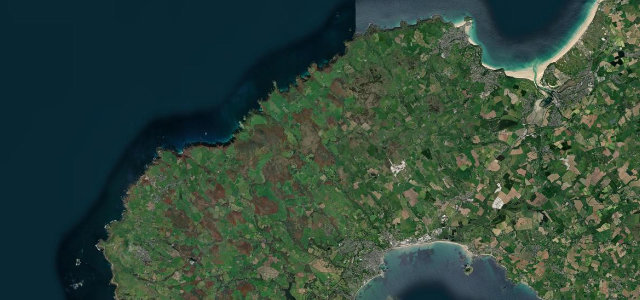
The A39 Atlantic Highway runs down the north Cornwall coast from Bude towards Camelford, high above the surf beaches and rugged cliffs. It is a fast, rolling road with sudden dips into wooded valleys; mind the summer tourist traffic, the surfers' vans and the slow climbs out of the combes.
Where it runs16.3 mi · point to point
MarhamchurchStart · England
TresinneyEnd · England
Navigate to the start: Apple Maps · Google Maps
Character
Corners22bends
Tightness4of 10
Max gradient8%≈ 1-in-13
Climb404 mtotal ascent
Summit303.9 mhighest point of the line · 997 ft
Corners
busiest around mile 5Elevation
under 4%4–8%over 8%10.9 – 303.9 mPoints of interest2 stops
- Cornwall at War MuseumLandmark13 mi in
- Four Seasons Cafe & Tea GardenFood and drink16 mi in
Hazards
- Heavy summer tourist traffic
- Steep wooded dips
- Surfers' vans at the beaches
Sources
“With ever-changing scenery, a road layout that'll keep you guessing, and hills so steep they'll make your bum clench, it's an unforgettable experience.”
Verified route: mapped from real road geometry and fact-checked by a human editor. How roads get checked
Driving the Atlantic Highway: quick answers
How long does it take to drive the Atlantic Highway?
Atlantic Highway runs 16.3 miles (26 km) and takes about 31 min to drive without stops.
How difficult is the Atlantic Highway to drive?
We rate it moderate: 22 corners, a maximum gradient of 8%, and a tightness of 4 out of 10.
When is the best time to drive the Atlantic Highway?
Spring and Summer and Autumn are best.
Nearby roads
The closest great drives to Atlantic Highway.
Atlantic Highway
DirectionsGet the app