Gard / Hérault · France
Cirque de Navacelles
D713D130Blandas to Saint-Maurice-Navacelles
A hairpin descent and climb across a vast limestone canyon on the Causse plateau.
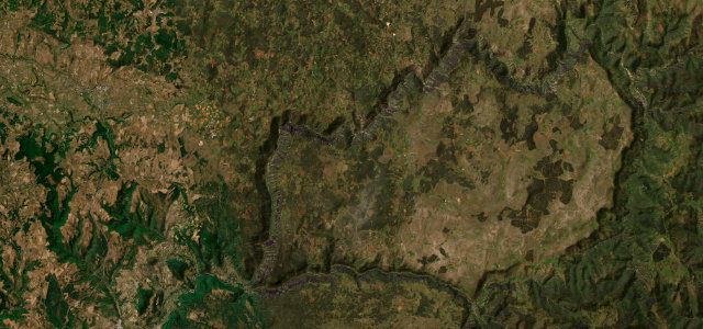
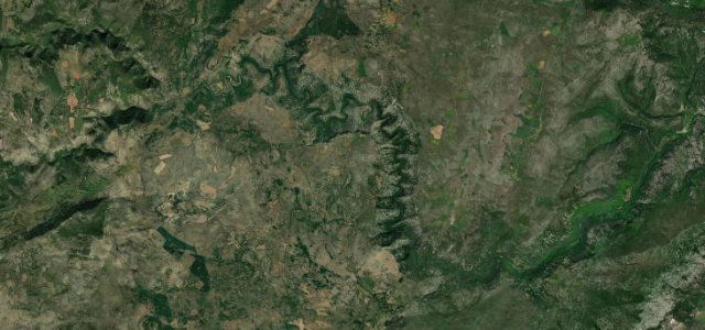
The road drops off the Causse de Blandas on the D713, twists down to the old hamlet of Navacelles at the bottom of the cirque, then climbs the far wall on the D130 onto the Causse de Larzac. It is a short drive but a relentless one, with tight hairpins stacked on the canyon sides and huge views back across the meander the River Vis abandoned. The surface is decent but narrow, and tour coaches and cyclists are common in summer. Mind the blind hairpins, the lack of barriers above the drop, and heavy seasonal traffic squeezing past at the bottom.
Where it runs9.8 mi · point to point
Navigate to the start: Apple Maps · Google Maps
Character
Corners
busiest around mile 1Elevation
under 4%4–8%over 8%346.9 – 647.9 mFrom the road
Points of interest2 stops
- Belvédère des ChênesViewpoint1.0 mi in
- LE CROM De BLANDAS Gîte d’étapeFood and drink0.2 mi in
Hazards
- Tight unguarded hairpins
- Narrow squeeze in Navacelles
- Summer coach and cyclist traffic
Sources
“A dangerous but exhilarating road that weaves down into the valley and clings to the cliff face on the way back up.”
Verified route: mapped from real road geometry and fact-checked by a human editor. How roads get checked
Driving the Cirque de Navacelles: quick answers
How long does it take to drive the Cirque de Navacelles?
How difficult is the Cirque de Navacelles to drive?
When is the best time to drive the Cirque de Navacelles?
Nearby roads
The closest great drives to Cirque de Navacelles.