Provence-Alpes-Côte d'Azur · France
Gorges de la Nesque
D942Villes-sur-Auzon to Sault
A balcony road carved along a deep Provençal gorge.
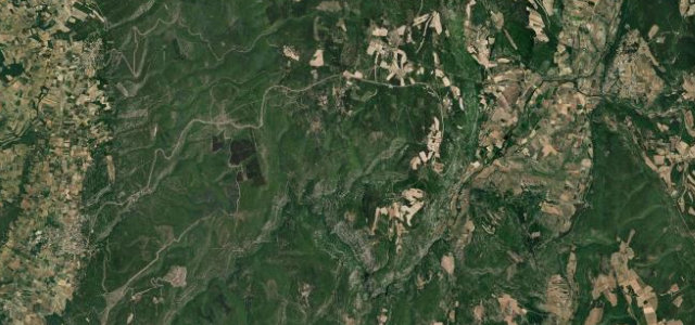
The D942 runs as a balcony along the rim of the Gorges de la Nesque between Villes-sur-Auzon and Monieux, a narrow Provençal road of short tunnels and overlooks above the limestone canyon, with Mont Ventoux close by. Mind the narrow sections, the cyclists, and rockfall after rain.
Where it runs17.3 mi · point to point
Villes-sur-AuzonStart · Provence-Alpes-Côte d'Azur
SaultEnd · Provence-Alpes-Côte d'Azur
Navigate to the start: Apple Maps · Google Maps
Character
Corners38bends
Tightness5of 10
Max gradient6%≈ 1-in-17
Hairpins1tight bends
Climb737 mtotal ascent
Summit767.5 mhighest point of the line · 2,518 ft
Corners
busiest around mile 17Elevation
under 4%4–8%over 8%353.6 – 767.5 mFrom the road
Points of interest3 stops
- Col de Notre-Dame des AbeillesViewpoint8.4 mi in
- stèle des cavaillonnais exécutésLandmark8.4 mi in
- Stèle Léon BLANCLandmark13 mi in
Hazards
- Narrow with short tunnels
- Cyclists on blind bends
- Rockfall after rain
Sources
“the road is qualified as one of the most beautiful roads of Europe”
Verified route: mapped from real road geometry and fact-checked by a human editor. How roads get checked
Driving the Gorges de la Nesque: quick answers
How long does it take to drive the Gorges de la Nesque?
Gorges de la Nesque runs 17.3 miles (28 km) and takes about 35 min to drive without stops.
How difficult is the Gorges de la Nesque to drive?
We rate it moderate: 38 corners including 1 hairpins, a maximum gradient of 6%, and a tightness of 5 out of 10.
When is the best time to drive the Gorges de la Nesque?
Spring and Summer and Autumn are best.
Nearby roads
The closest great drives to Gorges de la Nesque.
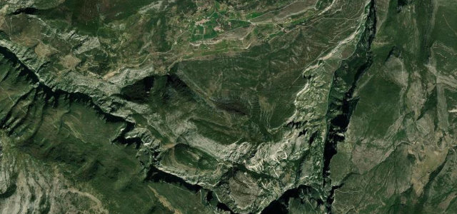
Gorges de la Nesque
DirectionsGet the app