Vaucluse, Provence · France
Mont Ventoux
D974Bédoin to Malaucène
The Giant of Provence, a bare limestone climb to 1,899 m.
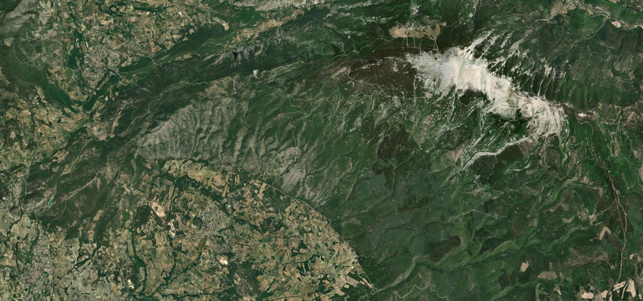
From the vineyards of Bédoin the D974 climbs through oak and cedar forest onto the bare white limestone that gives the Giant of Provence its snow-capped look all year round. Past Chalet Reynard the trees stop dead and the road runs exposed across the moonscape to the summit tower at 1,899 m, the Tom Simpson memorial standing just below the top, before dropping down the cooler northern side to Malaucène. The mistral has been recorded above 300 km/h up here and shuts the road when it blows hard; expect thousands of cyclists in season, and a summit section that closes from mid-November until spring.
Forest ramps, then a white moonscape with the whole of Provence below. On a clear evening this is the best drive in the south of France.
Why we picked it
Where it runs25.6 mi · point to point
Navigate to the start: Apple Maps · Google Maps
Character
Elevation
under 4%4–8%over 8%310 – 1,899 mThe strip below the profile is corner density: taller, warmer ticks mean tighter bends.
Points of interest3 stops
- Chalet ReynardFood and drink9.3 mi in
- Tom Simpson MemorialLandmark12 mi in
- Ventoux summit observatoryViewpoint13 mi in
Hazards
- Mistral gusts can close the exposed summit section
- Thousands of cyclists on the climb in season
- Summit section closed mid-November to spring
- Sudden weather swings on the bare upper mountain
See the typical season and live conditions for the high passes ›
Verified route: mapped from real road geometry and fact-checked by a human editor. How roads get checked
Driving the Mont Ventoux: quick answers
How long does it take to drive the Mont Ventoux?
How difficult is the Mont Ventoux to drive?
When is the best time to drive the Mont Ventoux?
Nearby roads
The closest great drives to Mont Ventoux.