Ardèche · France
Gorges de l'Ardèche
D290Vallon-Pont-d’Arc to Saint-Martin-d’Ardèche
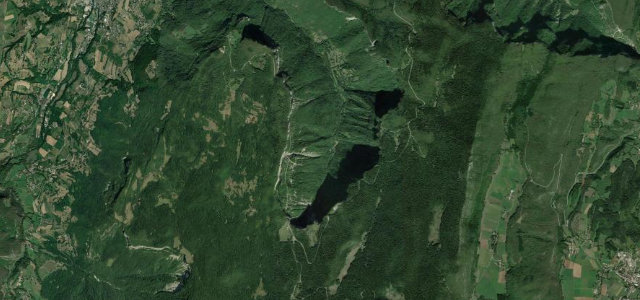
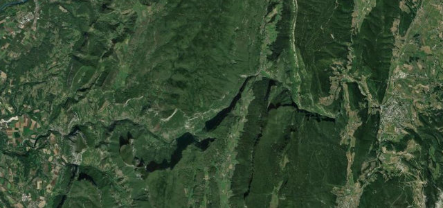
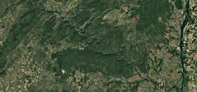
A rim road above the Grand Canyon of France past the Pont d’Arc natural arch.
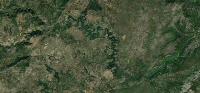
From Vallon-Pont-d’Arc the D290 follows the rim of the Ardèche gorges to Saint-Martin-d’Ardèche, opening with the famous Pont d’Arc stone arch and stringing together a series of belvederes above limestone cliffs and the meandering river below. It is a steady, flowing drive rather than a technical one, with a few tighter rim sections and frequent pull-ins for the views. Summers are very busy with canoe traffic and tour buses. Mind the parked-up viewpoints, slow holiday traffic, and the unfenced edges where you stop.
Where it runs23.1 mi · point to point
Navigate to the start: Apple Maps · Google Maps
Character
Corners
busiest around mile 1Elevation
approximateunder 4%4–8%over 8%63.2 – 351.2 mFrom the road
Points of interest4 stops
- Pont d’ArcLandmark3.1 mi in
- Belvédère du Serre de TourreViewpoint6.0 mi in
- Balcon de GournierViewpoint12 mi in
- Le Grand BelvédèreViewpoint19 mi in
Hazards
- Congested clifftop viewpoints
- Heavy summer holiday traffic
- Unfenced edges at stops
Sources
“Some sections are narrow and wind along the rim of the gorges, providing stunning views of limestone cliffs that rise up to 300 meters.”
Verified route: mapped from real road geometry and fact-checked by a human editor. How roads get checked
Driving the Gorges de l'Ardèche: quick answers
How long does it take to drive the Gorges de l'Ardèche?
How difficult is the Gorges de l'Ardèche to drive?
When is the best time to drive the Gorges de l'Ardèche?
Nearby roads
The closest great drives to Gorges de l'Ardèche.