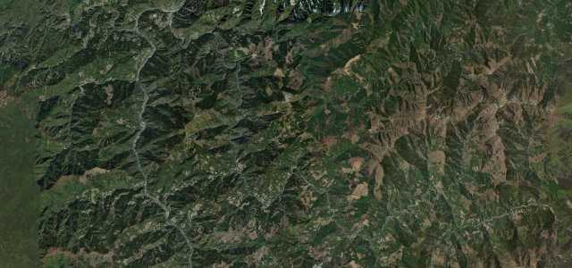
Tottori / Okayama · Japan
Hiruzen-Daisen Skyline
114Kofu (Tottori) to Hiruzen (Okayama)
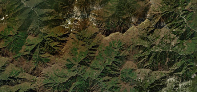
A short highland skyline over Kagikake Pass, framing Mount Daisen’s south face above a tunnel of beech forest.
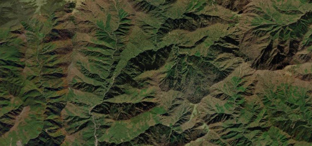
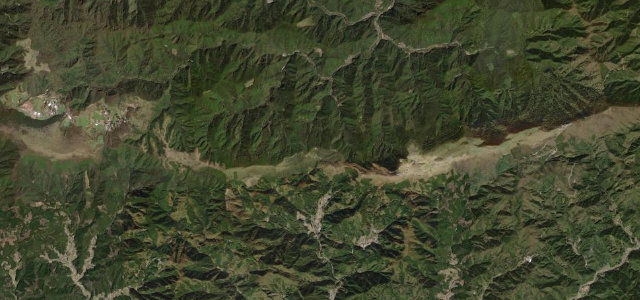
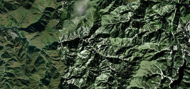
Now toll-free as Tottori and Okayama Prefectural Route 114, the Hiruzen-Daisen Skyline runs about 10 km of ridge between the Hiruzen highlands and the foot of Mount Daisen, the centrepiece of the wider Daisen loop drive. The highlight is Kagikake Pass at roughly 910 m, where the road crests to a head-on view of Daisen’s dramatic south wall rising above a foreground of beech, the trees forming a green tunnel in summer and turning gold in autumn. It is flowing and well surfaced, an easy but genuinely scenic San-in touring road. It closes in winter under snow. Mind the winter closure, the beech-tunnel shade hiding damp patches, and motorcyclists and cyclists on the popular pass.
Where it runs7.2 mi · point to point
Navigate to the start: Apple Maps · Google Maps
Character
Corners
busiest around mile 3Elevation
under 4%4–8%over 8%473.9 – 934.3 mPoints of interest2 stops
- Kimendai ViewpointViewpoint1.7 mi in
- Shingoya PassViewpointat the start
Hazards
- Winter snow closure
- Damp shaded patches under the beech tunnel
- Popular with motorcyclists and cyclists at the pass
Is Hiruzen-Daisen Skyline open? Typical season and live summit weather ›
Sources
“The road offers spectacular scenery of Okayama and Tottori prefectures and is perfect for driving, especially spring with fresh green leaves, and autumn colors.”
Verified route: mapped from real road geometry and fact-checked by a human editor. How roads get checked
Driving the Hiruzen-Daisen Skyline: quick answers
How long does it take to drive the Hiruzen-Daisen Skyline?
How difficult is the Hiruzen-Daisen Skyline to drive?
When is the best time to drive the Hiruzen-Daisen Skyline?
Nearby roads
The closest great drives to Hiruzen-Daisen Skyline.