Ehime / Kochi · Japan
Shikoku Karst Skyline
383Onogahara, Seiyo, Ehime to Tengu Kogen, Tsuno, Kochi
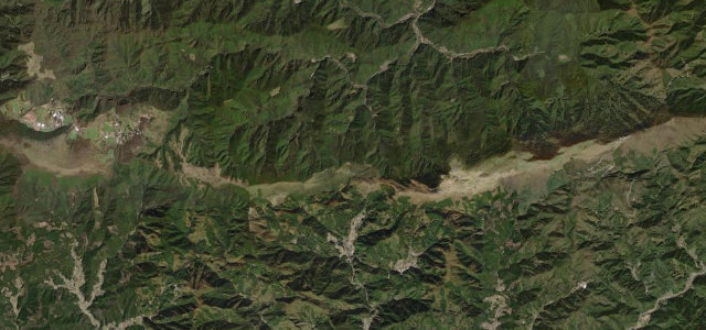
Ridge 'road in the sky' across the limestone grasslands of the Shikoku Karst.
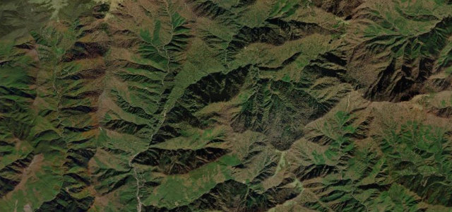
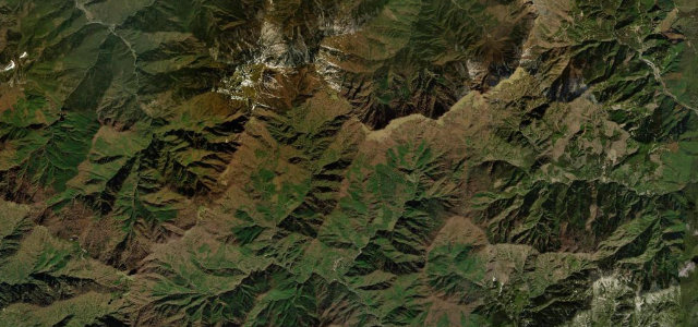
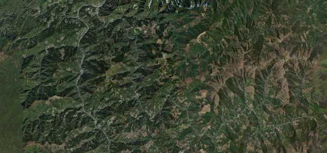
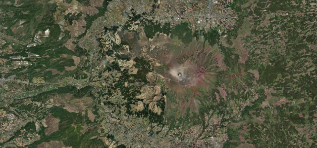
Prefectural Route 383 traverses the Shikoku Karst plateau at around 1400 m, running the ridge past Onogahara, Mezurudaira, Godan and Tengu highlands with grazing cattle and white limestone scattered through rolling green meadows. Nicknamed the road in the sky, it is one of Japan’s 100 most scenic roads and a famed stargazing spot. Some sections are narrow with limited passing, and it closes in winter. Mind the open-range cattle on the road, narrow blind crests, and quick-rolling cloud.
Where it runs9.3 mi · point to point
Navigate to the start: Apple Maps · Google Maps
Character
Corners
busiest around mile 2Elevation
under 4%4–8%over 8%1,082.7 – 1,432.9 mPoints of interest1 stop
- Jiyoshi PassViewpoint4.8 mi in
Hazards
- Open-range cattle
- Narrow blind crests
- Fast-rolling cloud
Sources
“As you follow the road along the ridge, grasslands and open sky fill your view on both sides, and combined with the high elevation, you feel as if you're driving through the sky.”
Verified route: mapped from real road geometry and fact-checked by a human editor. How roads get checked
Driving the Shikoku Karst Skyline: quick answers
How long does it take to drive the Shikoku Karst Skyline?
How difficult is the Shikoku Karst Skyline to drive?
When is the best time to drive the Shikoku Karst Skyline?
Nearby roads
The closest great drives to Shikoku Karst Skyline.