Kochi / Ehime · Japan
UFO Line (Kamegamori)
Ino, Kochi (Kanpu) to Tsuchigoya, Kumakogen, Ehime
Ridge-top sky road along the Ishizuchi range, made famous by car commercials.
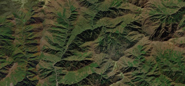
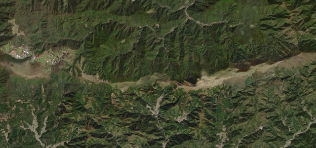
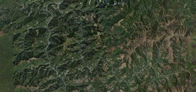
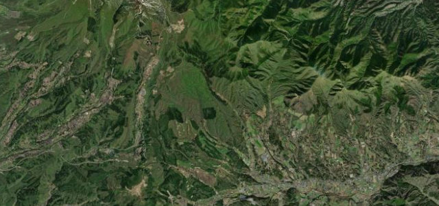
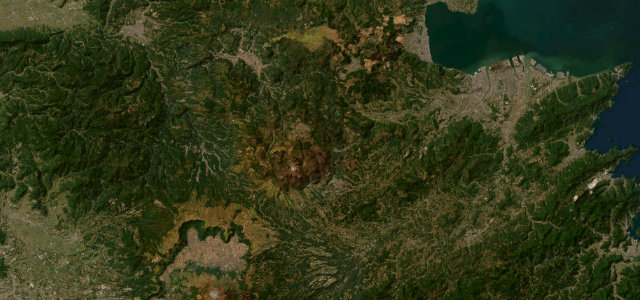
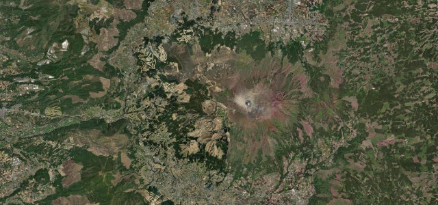
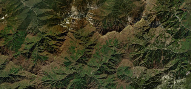
Nicknamed the UFO Line, this narrow town road runs the Ishizuchi ridge between roughly 1150 and 1700 m, connecting the Kanpu tunnel area in Kochi with Tsuchigoya in Ehime. It became famous after appearing in car commercials and feels like driving along the spine of the sky, with the Ishizuchi peaks ahead and the Shikoku ranges below. It is single track in long stretches with passing places and is closed in winter. Mind the blind one-lane sections, sheer unguarded drops, and frequent cloud.
Where it runs14.1 mi · point to point
Navigate to the start: Apple Maps · Google Maps
Character
Corners
busiest around mile 1Elevation
under 4%4–8%over 8%1,248.9 – 1,701.1 mPoints of interest3 stops
- Mt. KamegamoriViewpoint7.6 mi in
- Mt. Iyo-FujiViewpoint3.5 mi in
- IwakurosanViewpoint13 mi in
Hazards
- Single-lane blind bends
- Unguarded drops
- Low cloud
- Closed in winter
Is UFO Line (Kamegamori) open? Typical season and live summit weather ›
Sources
“The skyline proves to be a great road. It is narrow and tortuous with long stretches where two vehicles cannot pass except in the passing places.”
Verified route: mapped from real road geometry and fact-checked by a human editor. How roads get checked
Driving the UFO Line (Kamegamori): quick answers
How long does it take to drive the UFO Line (Kamegamori)?
How difficult is the UFO Line (Kamegamori) to drive?
When is the best time to drive the UFO Line (Kamegamori)?
Nearby roads
The closest great drives to UFO Line (Kamegamori).