
 Country guide
The best driving roads in Japan
29 hand-picked driving roads in Japan, every one mapped from real geometry and fact-checked, including 4 world icons.
Roads294 world icons
Combined443 mi713 km of driving
High point2,380 m7,808 ft
The five to build a trip around
Our ranking, icons first, with the reasoning on the table. All 29 roads follow below.
-
1
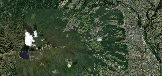 1,175 msummit
Mount Haruna (Akina) Pass
The Ikaho to Lake Haruna climb that inspired Initial D’s Mount Akina, the most mythologised touge in Japanese car culture.
-
2
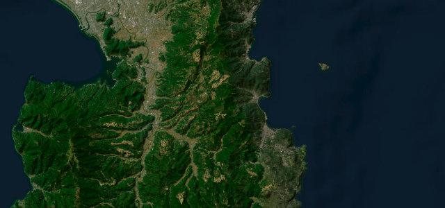 25 mi50 min
Izu Skyline
40.6 km ridge toll road down the Izu Peninsula spine with Mt Fuji and twin-bay views.
-
3
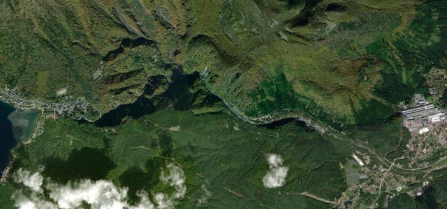 1,299 msummit
Irohazaka (Iroha-zaka)
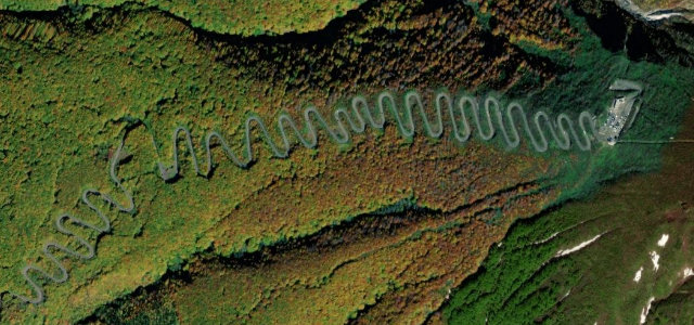
Legendary Nikko touge: 48 hairpins climbing 440 m to Lake Chuzenji.
-
4
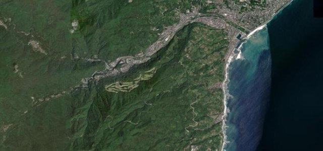 8 mi17 min
Hakone Turnpike
Japan’s 'Nurburgring': private toll climb to the Daikanzan Mt Fuji vista.
-
5
 7 mi14 min
Hiruzen-Daisen Skyline
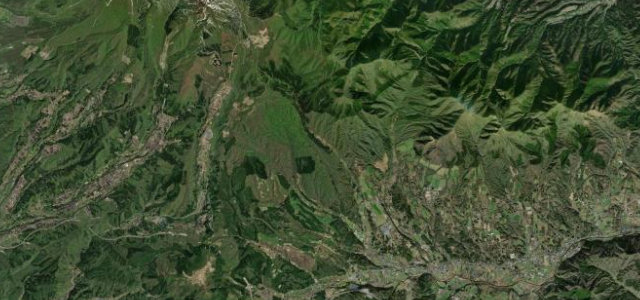
A short highland skyline over Kagikake Pass, framing Mount Daisen’s south face above a tunnel of beech forest.
The roads
Hiruzen-Daisen Skyline7 mi · 14 min · 934.3 m summitView the roadbook ›
Gunma and around16 roads
Izu Skyline
Mount Haruna (Akina) Pass
Tsumagoi Panorama Line
Bandai Gold Line
Hakusan Shirakawa-go White Road
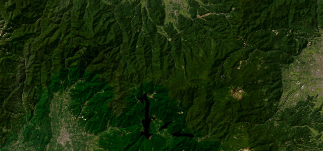
Nishi-Azuma Sky Valley
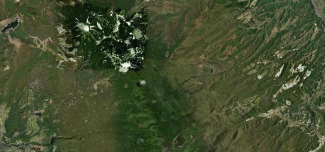
Mugikusa Pass (Route 299)
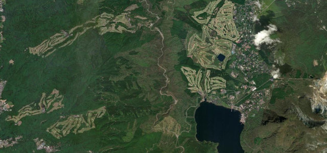
Hakone Skyline
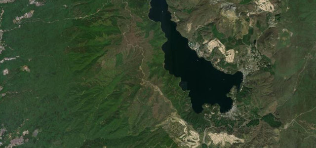
Ashinoko Skyline
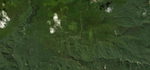
Bandai-Azuma Skyline
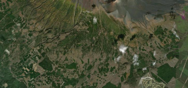
Fujisan Skyline
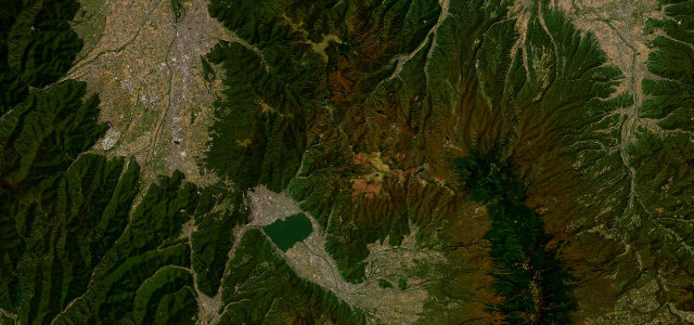
Venus Line
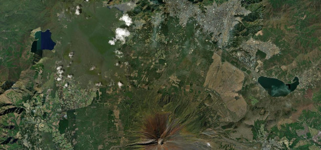
Fuji Subaru Line
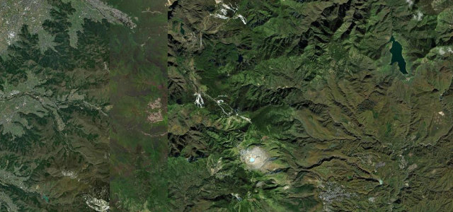
Shiga-Kusatsu Route (Shibu Pass)
Irohazaka (Iroha-zaka)
Hakone Turnpike
Kumamoto and around8 roads
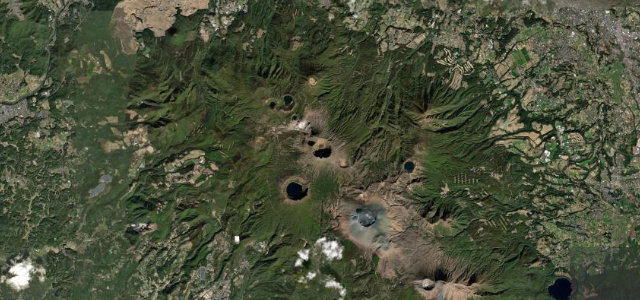
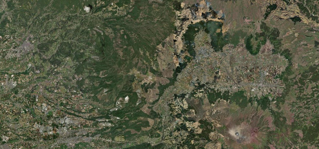
Aomori and around4 roads
Drive them all in one trip

The Touge
Collections featuring Japan
Nearby countries

 South Korea
 Taiwan
 Philippines
Driving in Japan: common questions
What is the best driving road in Japan?
Hiruzen-Daisen Skyline is the place to start. A short highland skyline over Kagikake Pass, framing Mount Daisen’s south face above a tunnel of beech forest.
How many great driving roads does Japan have?
29 hand-picked and fact-checked roads, including 4 world icons, 443 miles of driving in all, every one mapped from real road geometry.
When is the best time to drive in Japan?
Most of the roads here are at their best in summer and autumn.
What is the highest road in Japan?
Fujisan Skyline is the highest, climbing to about 2,380 m (7,808 ft).