Tochigi · Japan
Irohazaka (Iroha-zaka)
120Nikkō to Chūzenji
Legendary Nikko touge: 48 hairpins climbing 440 m to Lake Chuzenji.
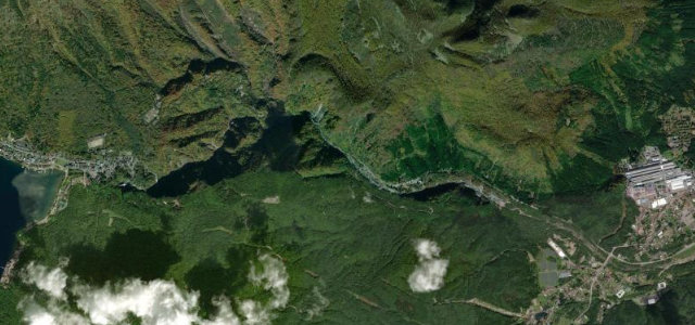
Irohazaka is a pair of one-way mountain roads on National Route 120 linking Nikko (~600 m) with Lake Chuzenji (~1,270 m), together comprising 48 hairpin bends each signposted with a character of the old Japanese ‘iroha’ syllabary. The downhill First Irohazaka has 28 curves and the uphill Second has 20, with Akechidaira near the top giving a famous view back over the switchbacks. It is a heavily touristed, tightly twisting road, very congested in autumn-leaf season and icy in winter.
One-way hairpins climbing through the woods toward Lake Chuzenji, every curve lettered like a stanza. Catch it in autumn and you’ll never forget it.
Why we picked it
Scenery
Best seasons
In these collections
In these Grand Tours
In these guides
Irohazaka (Iroha-zaka) on the map5.7 mi · point to point
Navigate to the start: Apple Maps · Google Maps
Character
More hairpins than 9 in 10 roads in the catalogue.
Corners
busiest around mile 3Elevation
under 4%4 to 8%over 8%743 to 1,299 mPoints of interest1 stop
- Kegon FallsViewpoint5.2 mi in
Hazards
- Blind hairpins with steep drop-offs
- Severe autumn-foliage traffic congestion
- Ice and snow closures in winter
See the typical season and live conditions for the high passes ›
Sources
“the Irohazaka Winding Roads were so named because together they consist of 48 hairpin turns. The two roads were respectively built in 1954 and 1965 as some of Japan’s first toll roads, but were later turned toll free.”
Route traced from OpenStreetMap, with its stats measured from that line. How the roads are mapped
Driving the Irohazaka (Iroha-zaka): quick answers
How long does it take to drive the Irohazaka (Iroha-zaka)?
How difficult is the Irohazaka (Iroha-zaka) to drive?
When is the best time to drive the Irohazaka (Iroha-zaka)?
Nearby roads
The closest great drives to Irohazaka (Iroha-zaka).