Nagano / Gunma · Japan
Shiga-Kusatsu Route (Shibu Pass)
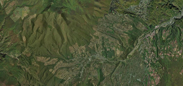
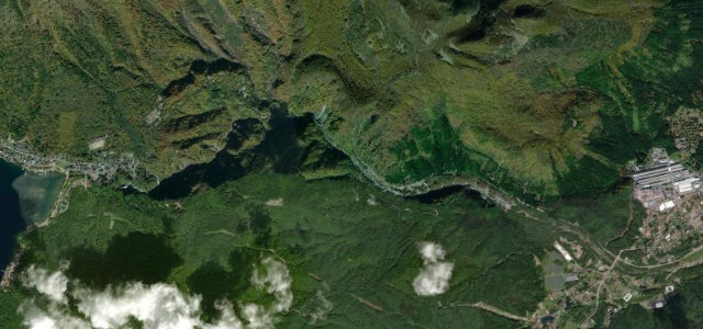
292Shiga Kogen, Yamanouchi to Shibu Pass (Nagano-Gunma border)
Japan’s highest national road, climbing through Shiga Kogen to the 2172 m Shibu Pass.
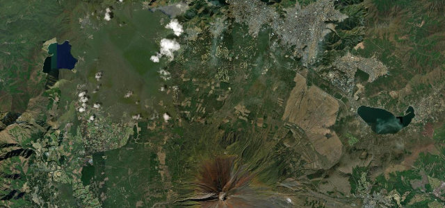
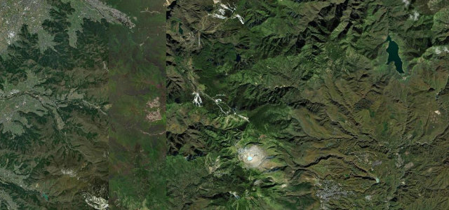
National Route 292 climbs from the Shiga Kogen resorts up to Shibu Pass at 2172 m, the highest point on any Japanese national highway, near the Yokoteyama summit and the Nagano-Gunma border. It is a renowned alpine drive with spring snow walls and broad views over the Yoshigadaira marshes. Note the upper stretch toward Kusatsu past Mt Shirane is often restricted by volcanic activity, so the open and famous part is the Shiga Kogen to Shibu Pass section. Mind the volcanic no-stopping zones, dense fog, and the long winter closure.
Scenery
Best seasons
In these collections
In these Grand Tours
Where it runs16.0 mi · point to point
Navigate to the start: Apple Maps · Google Maps
Character
Corners
busiest around mile 5Elevation
under 4%4–8%over 8%1,381.6 – 2,178.8 mPoints of interest3 stops
- Yamada PassViewpoint11 mi in
- Highest point on a national road in JapanLandmark9.4 mi in
- Mt. YokoteViewpoint8.5 mi in
Hazards
- Volcanic restriction zones
- Thick fog
- Sudden snow
- Long winter closure
Is Shiga-Kusatsu Route (Shibu Pass) open? Typical season and live summit weather ›
Sources
“Route 292 snakes through the mountains and opens up to beautiful panoramic views of Yoshigadaira Wetland with the town of Kusatsu far below.”
Verified route: mapped from real road geometry and fact-checked by a human editor. How roads get checked
Driving the Shiga-Kusatsu Route (Shibu Pass): quick answers
How long does it take to drive the Shiga-Kusatsu Route (Shibu Pass)?
How difficult is the Shiga-Kusatsu Route (Shibu Pass) to drive?
When is the best time to drive the Shiga-Kusatsu Route (Shibu Pass)?
Nearby roads
The closest great drives to Shiga-Kusatsu Route (Shibu Pass).