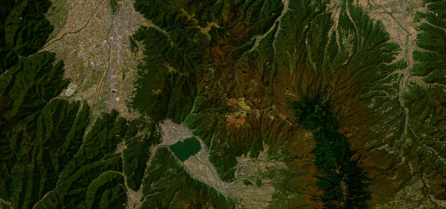
Nagano · Japan
Mugikusa Pass (Route 299)
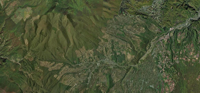
299Chino (Tateshina side) to Sakuho
The Marchen Kaido over Mugikusa Pass, Japan’s second-highest national-highway pass, through Yatsugatake’s mossy forests.
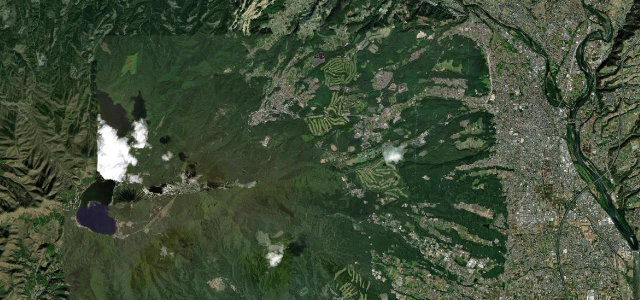
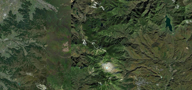
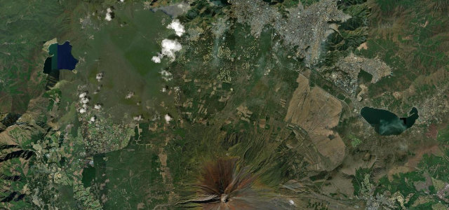
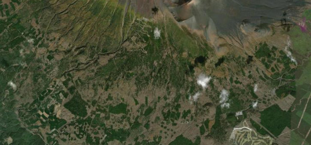
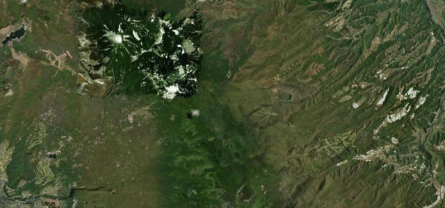
Nicknamed the Marchen Kaido (Fairytale Road), this stretch of National Route 299 climbs over Mugikusa Pass at 2,127 metres, the second-highest point on any Japanese national highway after Shibu Pass on Route 292, crossing the Yatsugatake range between Chino on the Tateshina side and Sakuho on the eastern side. The climb is a long sequence of well-surfaced switchbacks and sweepers through deep, moss-carpeted conifer forest, with Shirakoma Pond and its fairytale woods near the top. It is a genuine point-to-point crossing rather than a loop, which makes it a satisfying drive in its own right as well as a link between the Suwa and Saku basins. It is high and snowbound in winter. Mind the winter closure of the pass section, early-morning frost and lingering ice in the shaded forest, and cyclists and hikers near Shirakoma Pond.
Scenery
Best seasons
In these collections
In these Grand Tours
Where it runs21.9 mi · point to point
Navigate to the start: Apple Maps · Google Maps
Character
Corners
busiest around mile 11Elevation
under 4%4–8%over 8%951.2 – 2,129.2 mPoints of interest2 stops
- Mugikusatoge PassViewpoint9.1 mi in
- SeitaisoFood and drink9.3 mi in
Hazards
- Pass section closed in winter
- Frost and shaded-forest ice
- Cyclists and hikers near Shirakoma Pond
Is Mugikusa Pass (Route 299) open? Typical season and live summit weather ›
Sources
“Nearby is the highlight of the route: Lake Shirakoma and its fairytale forests carpeted in moss.”
Verified route: mapped from real road geometry and fact-checked by a human editor. How roads get checked
Driving the Mugikusa Pass (Route 299): quick answers
How long does it take to drive the Mugikusa Pass (Route 299)?
How difficult is the Mugikusa Pass (Route 299) to drive?
When is the best time to drive the Mugikusa Pass (Route 299)?
Nearby roads
The closest great drives to Mugikusa Pass (Route 299).