Gunma · Japan
Tsumagoi Panorama Line
Tsumagoi (Pref Rd 59 junction) to Tsumagoi (Route 144)
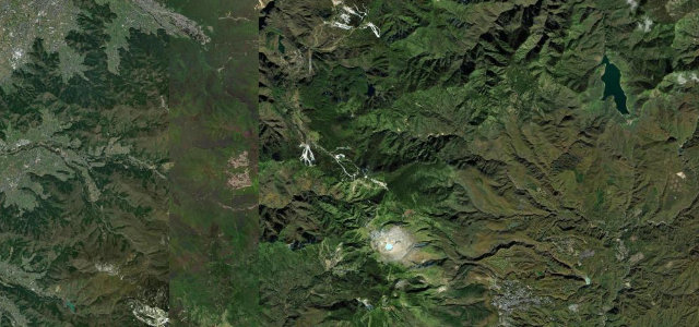
A highland farm road above 1000 m through Tsumagoi’s cabbage fields, with Hokkaido-like open ridgelines and close views of Mount Asama.
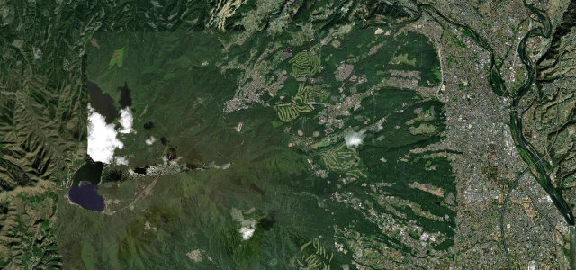
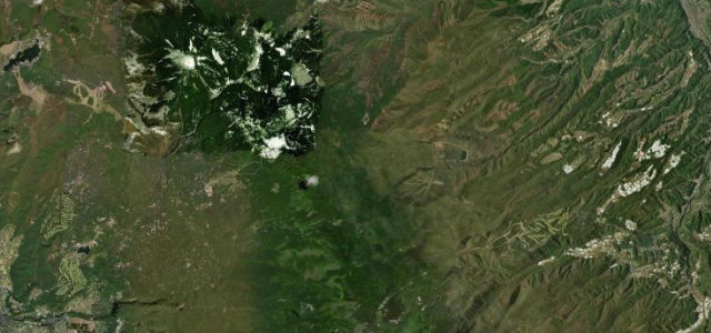
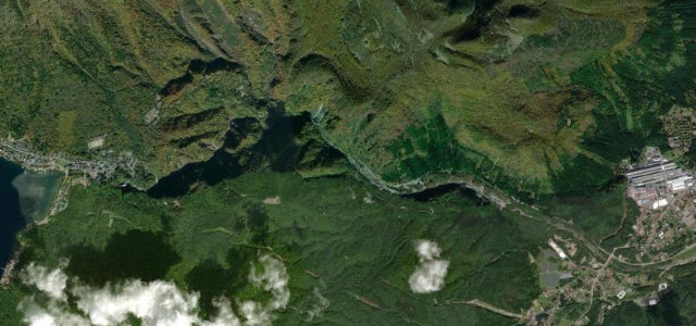
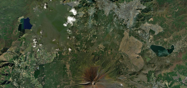
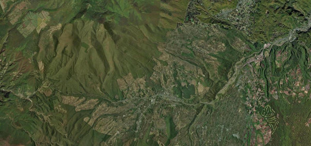
The Tsumagoi Panorama Line is a village road, split into a southern and a northern route totalling around 30 km, threading the highland plateau of Tsumagoi in Gunma. The more celebrated northern route runs ridgelines over vast cabbage fields with sweeping, almost Hokkaido-feeling open curves, while the southern route hugs the lower skirt of Mount Asama. It is wide, smooth and flowing rather than technical, which is exactly its charm as a touring road, and it features on lists of Japan’s hundred finest roads. Parts of the north route close in winter, roughly early December to early April. Mind the seasonal closures, farm vehicles and harvest-season trucks, and the lack of barriers on the open highland edges.
Scenery
Best seasons
In these collections
In these Grand Tours
Where it runs10.7 mi · point to point
Navigate to the start: Apple Maps · Google Maps
Character
Corners
busiest around mile 5Elevation
under 4%4–8%over 8%1,036.2 – 1,319.2 mPoints of interest1 stop
- Aisai no OkaSmall hill viewpoint with a shouting deck looking out over cabbage fields to Mount Asama2.0 mi in
Hazards
- Partial winter closure of the north route
- Slow farm vehicles and harvest trucks
- Open unbarriered highland edges
Is Tsumagoi Panorama Line open? Typical season and live summit weather ›
Sources
“Its scenery evokes the feeling of Hokkaido, making it a popular spot for touring.”
Verified route: mapped from real road geometry and fact-checked by a human editor. How roads get checked
Driving the Tsumagoi Panorama Line: quick answers
How long does it take to drive the Tsumagoi Panorama Line?
How difficult is the Tsumagoi Panorama Line to drive?
When is the best time to drive the Tsumagoi Panorama Line?
Nearby roads
The closest great drives to Tsumagoi Panorama Line.