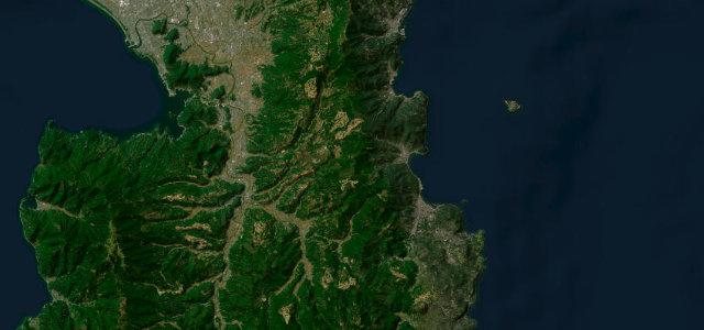
Yamanashi · Japan
Fuji Subaru Line
707Fujikawaguchiko to Narusawa
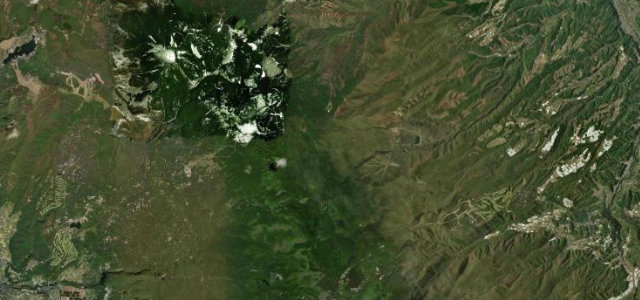
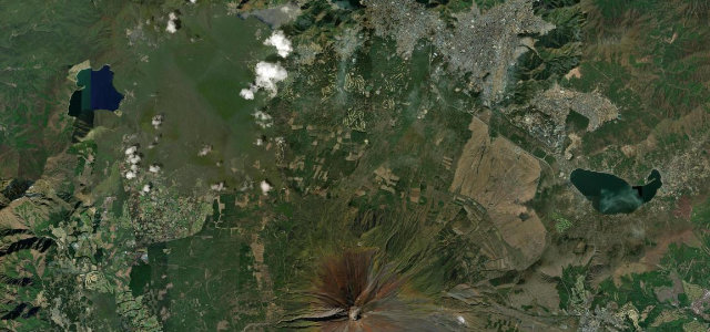
29.5 km toll road spiralling up Mt Fuji’s north slope to the 2,305 m 5th Station.
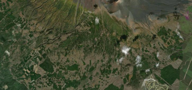
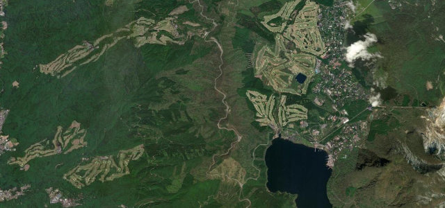
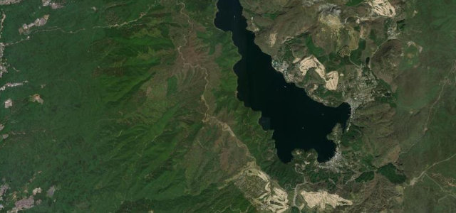
The Fuji Subaru Line is a 29.5 km toll road (Yamanashi Prefectural Route 707) opened in 1964 that climbs Mount Fuji’s northern flank from near Lake Kawaguchi to the Yoshida-trail 5th Station at 2,305 m. It rises through dense forest into the sub-alpine zone with views over the Fuji Five Lakes. The toll must be paid, the road can close for snow outside summer, and it is shut to private cars during the peak July–September climbing season when shuttle buses run instead.
Scenery
Best seasons
In these collections
In these Grand Tours
Where it runs17.6 mi · point to point
Navigate to the start: Apple Maps · Google Maps
Character
Corners
busiest around mile 18Elevation
under 4%4–8%over 8%870.8 – 2,316 mFrom the road
Points of interest3 stops
- Sunrise ViewpointViewpoint18 mi in
- Funatsu tree molds made by 1000 year old lava flowLandmark2.7 mi in
- Yoshida tree moldsLandmark2.7 mi in
Hazards
- Closed to private cars in peak climbing season (shuttle only)
- Snow closures outside summer
- Altitude, rapid weather and visibility changes
See the typical season and live conditions for the high passes ›
Sources
“a scenic toll road that climbs Mt. Fuji's lower northern slopes”
Verified route: mapped from real road geometry and fact-checked by a human editor. How roads get checked
Driving the Fuji Subaru Line: quick answers
How long does it take to drive the Fuji Subaru Line?
How difficult is the Fuji Subaru Line to drive?
When is the best time to drive the Fuji Subaru Line?
How much is the toll on the Fuji Subaru Line?
Nearby roads
The closest great drives to Fuji Subaru Line.