Shizuoka · Japan
Fujisan Skyline
152Fujinomiya (2nd station), Shizuoka to Fujinomiya 5th Station, Mt Fuji
Hairpin climb to the Fujinomiya 5th Station, the highest point reachable by private car in Japan.
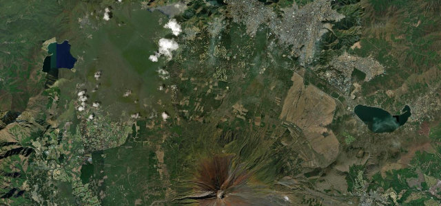
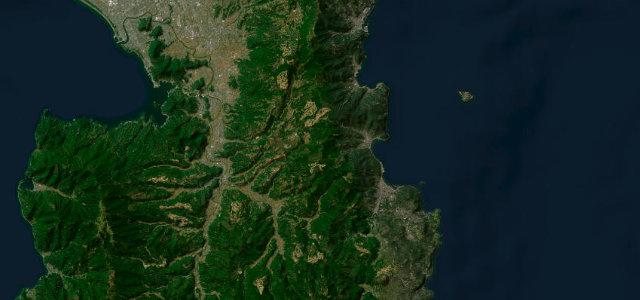
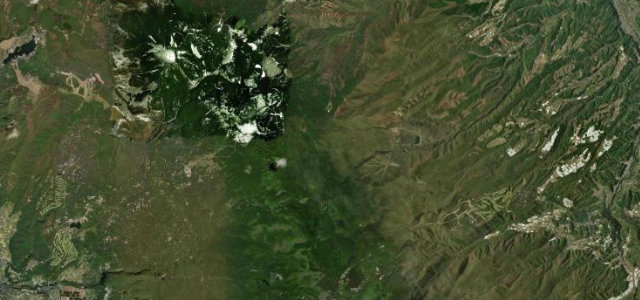
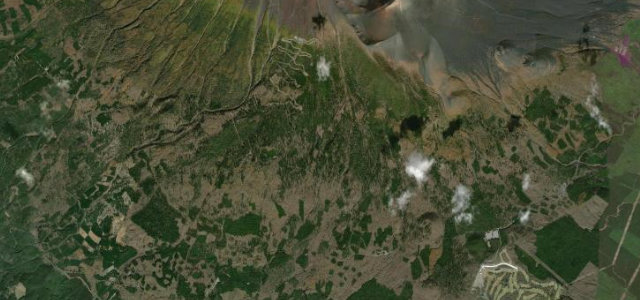
The climbing section of the Fujisan Skyline switchbacks up Mt Fuji’s southern slope to the Fujinomiya 5th Station at about 2380 m, the highest point reachable by private car in Japan. Now free after its toll days, it offers continuous hairpins through forest then bare volcanic terrain with huge views when clear. The road closes to private cars during the summer climbing season and in winter from late autumn to spring. Mind the cloud and rapid weather changes near the summit, thin-air engine and driver fatigue, and seasonal private-car bans.
Scenery
Best seasons
In these collections
In these Grand Tours
Where it runs8.3 mi · point to point
Navigate to the start: Apple Maps · Google Maps
Character
The highest road in Japan, by our count in the catalogue.
Corners
busiest around mile 5Elevation
under 4%4–8%over 8%1,458.7 – 2,379.8 mFrom the road
Points of interest2 stops
- Fujinomiya 5th StationLandmark8.2 mi in
- 6th StationLandmark8.2 mi in
Hazards
- Rapid summit weather
- Thin-air fatigue
- Seasonal private-car bans
Sources
“The winding roads at the foot of Mount Fuji, known as the Fujisan Skyline, reward drivers with breathtaking views of the bays of Suruga and Sagami.”
Verified route: mapped from real road geometry and fact-checked by a human editor. How roads get checked
Driving the Fujisan Skyline: quick answers
How long does it take to drive the Fujisan Skyline?
How difficult is the Fujisan Skyline to drive?
When is the best time to drive the Fujisan Skyline?
Nearby roads
The closest great drives to Fujisan Skyline.