Kanagawa · Japan
Ashinoko Skyline
D11Hakone Pass to Kojiri
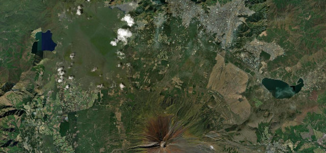
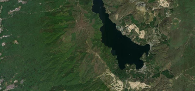
10.75 km Hakone crater-rim toll road balancing Lake Ashi against Mount Fuji.
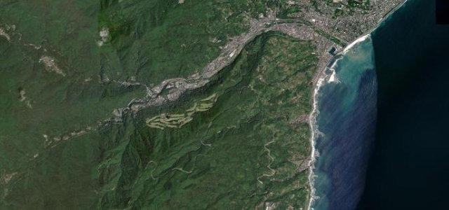
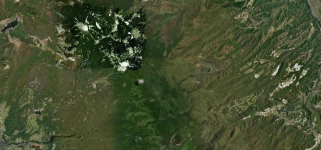
The Ashinoko Skyline is a 10.75 km toll road completed in 1962 that runs north–south along the outer western rim of the Hakone caldera, climbing from 846 m at Hakone Pass to just over 1,000 m below Mount Mikuni before dropping to Lake Ashi, from National Route 1 near Hakone Pass to Kojiri above the northern shore of Lake Ashi. The ridge gives Lake Ashi to the east and, in clear weather, Mount Fuji, Suruga Bay and the Izu Peninsula to the west. It is a paid toll road on an exposed crater rim, prone to fog and a Hakone enthusiast favourite alongside the nearby Turnpike.
Scenery
Best seasons
In these collections
In these Grand Tours
Where it runs6.7 mi · point to point
Navigate to the start: Apple Maps · Google Maps
Character
Corners
busiest around mile 3Elevation
under 4%4–8%over 8%727.8 – 1,026.3 mFrom the road
Points of interest2 stops
- Mt. MikuniViewpoint3.7 mi in
- Hakone PassViewpointat the start
Hazards
- Exposed crater-rim fog and wind
- Toll road, payment required
- Fast enthusiast and motorcycle traffic
Sources
“Viewpoints along the drive offer stunning views of Mount Fuji, Mount Komagatake and Lake Ashinoko.”
Verified route: mapped from real road geometry and fact-checked by a human editor. How roads get checked
Driving the Ashinoko Skyline: quick answers
How long does it take to drive the Ashinoko Skyline?
How difficult is the Ashinoko Skyline to drive?
When is the best time to drive the Ashinoko Skyline?
How much is the toll on the Ashinoko Skyline?
Nearby roads
The closest great drives to Ashinoko Skyline.