Shizuoka · Japan
Hakone Skyline
D29Kojiri Pass, Susono to Nagao Pass, Gotemba
A short ridge-running toll road on Hakone’s west rim with a head-on Mount Fuji panorama.
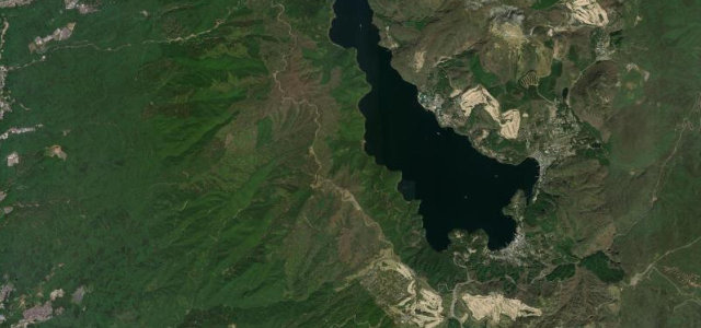
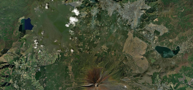
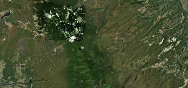
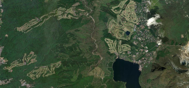
The Hakone Skyline is a roughly five-kilometre toll road that picks up where the Ashinoko Skyline ends, running north along the western ridge of the Hakone outer rim from near Kojiri Pass to Nagao Pass above Gotemba. It is short but prized: from the ridge and the Fuji Viewpoint parking near the northern end you get an almost unobstructed, head-on view of Mount Fuji to the west and glimpses of Lake Ashi to the east. The surface is well kept and the curves are open ridge sweepers rather than hairpins, which is why it is a staple of the Hakone driving and riding scene alongside the neighbouring Turnpike and Ashinoko Skyline. It is a daytime toll road and closes overnight. Mind the toll-gate operating hours and overnight closure, strong crosswinds and cloud that can blank Fuji entirely, and heavy enthusiast and tourist traffic at weekends.
Scenery
Best seasons
In these collections
In these Grand Tours
Where it runs3.0 mi · point to point
Navigate to the start: Apple Maps · Google Maps
Character
Corners
busiest around mile 1Elevation
under 4%4–8%over 8%853.1 – 1,008.6 mFrom the road
Points of interest2 stops
- Kojiri PassViewpointat the start
- Nagao PassViewpoint3.0 mi in
Hazards
- Daytime-only toll road with overnight closure
- Strong crosswinds and Fuji-blanking cloud
- Heavy weekend enthusiast traffic
See the typical season and live conditions for the high passes ›
Sources
“This is a fun road and has many corners and hairpins, much more than the Turnpike.”
Verified route: mapped from real road geometry and fact-checked by a human editor. How roads get checked
Driving the Hakone Skyline: quick answers
How long does it take to drive the Hakone Skyline?
How difficult is the Hakone Skyline to drive?
When is the best time to drive the Hakone Skyline?
Is there a toll on the Hakone Skyline?
Nearby roads
The closest great drives to Hakone Skyline.