Nagano · Japan
Venus Line
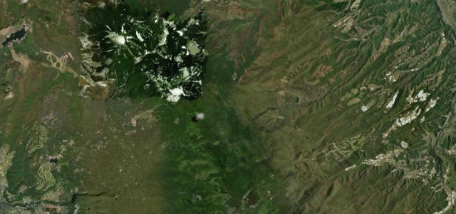
Chino (Tateshina) to Utsukushigahara Kogen
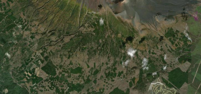
High plateau ridge run from Tateshina up to the Utsukushigahara grasslands at 2000 m.
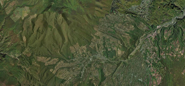
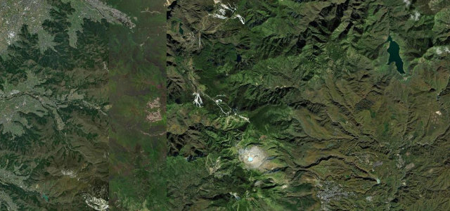
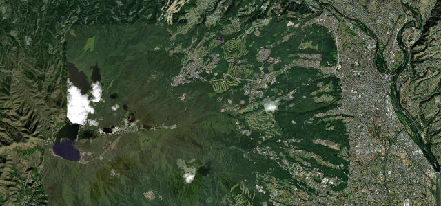
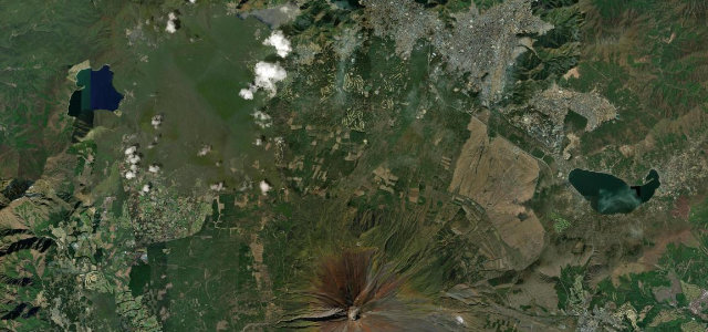
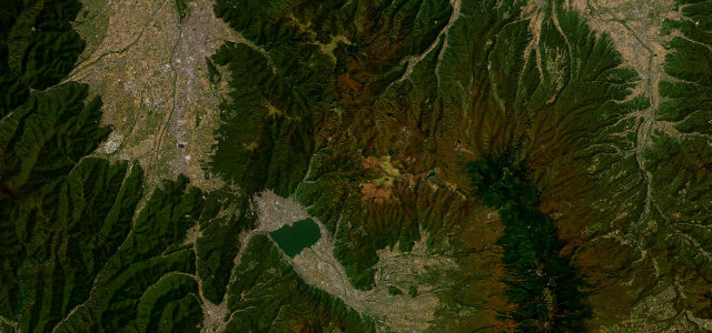
The Venus Line links the Tateshina and Shirakaba highlands with the open Kirigamine and Utsukushigahara plateaus, climbing to a high point of 1959 m with long sweeping curves rather than tight hairpins. It is one of Nagano’s best known scenic drives, busy on summer weekends and famous for July day-lily meadows and October colour. Snow closes the higher sections from late November to spring. Mind the cyclists, the cold mountain fog that can drop visibility fast, and heavy holiday traffic.
Scenery
Best seasons
In these collections
In these Grand Tours
Where it runs27.7 mi · point to point
Navigate to the start: Apple Maps · Google Maps
Character
Corners
busiest around mile 27Elevation
under 4%4–8%over 8%773.8 – 1,955 mPoints of interest3 stops
- Kamikuwahara Dōhyō and Lantern (Historic Kōshū Kaidō)Landmark3.1 mi in
- Mt. WashigamineViewpoint15 mi in
- Taisha Suwa Jinja SandōLandmark3.1 mi in
Hazards
- Sudden mountain fog
- Summer cyclists
- Holiday congestion
Sources
“offers spectacular views of Nagano's mountainous landscape, including the Japanese Alps, Mt. Asama and the Yatsugatake mountains”
Verified route: mapped from real road geometry and fact-checked by a human editor. How roads get checked
Driving the Venus Line: quick answers
How long does it take to drive the Venus Line?
How difficult is the Venus Line to drive?
When is the best time to drive the Venus Line?
Nearby roads
The closest great drives to Venus Line.