Gunma · Japan
Mount Haruna (Akina) Pass
33Ikaho to Lake Haruna
The Ikaho to Lake Haruna climb that inspired Initial D’s Mount Akina, the most mythologised touge in Japanese car culture.
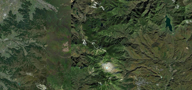
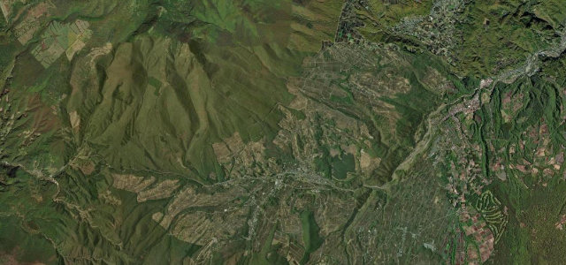
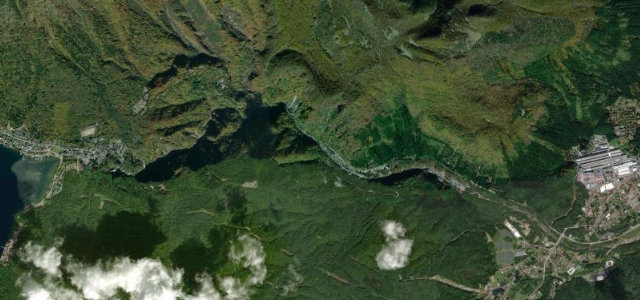
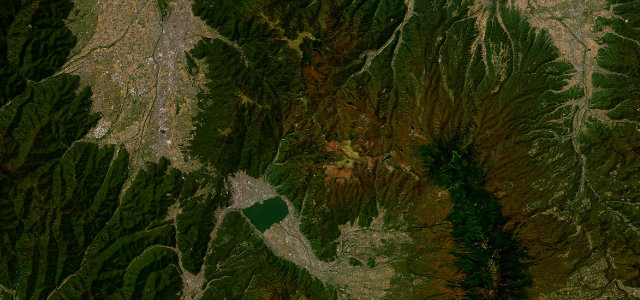
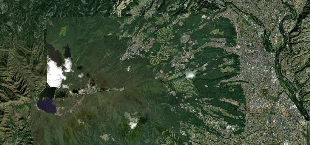
Gunma Prefectural Route 33 climbs from the hot-spring town of Ikaho up to the caldera lake at the summit of Mount Haruna, and it is the real road behind Akina, home course of Takumi Fujiwara in Initial D. The defining stretch is a run of consecutive hairpins on the wooded slope, the inspiration for the manga’s five-hairpin downhill, linked by short straights and tight switchbacks with steady elevation change. It is a public road, free, and open year round when weather allows, which makes it a pilgrimage for JDM fans, so expect company. The surface is good but the corners are genuinely tight and sight lines are short. Mind the heavy pilgrim and tourist traffic, the tight blind hairpins through forest, and winter ice near the lake.
The real 'Akina' of Initial D, the downhill that turned a generation onto driving. A tight, technical descent of Mount Haruna that became a place of pilgrimage.
Why we picked it
Scenery
Best seasons
In these collections
In these Grand Tours
In these guides
Where it runs13.1 mi · point to point
Navigate to the start: Apple Maps · Google Maps
Character
Corners
busiest around mile 7Elevation
under 4%4–8%over 8%175 – 1,175.4 mFrom the road
Points of interest3 stops
- SuzuriiwaViewpoint13 mi in
- Horai-kanLandmark5.9 mi in
- Mt. HarunaViewpoint12 mi in
Hazards
- Tight blind hairpins through forest
- Heavy Initial D pilgrim and tourist traffic
- Winter ice and snow near the summit lake
Sources
“one of Japan's finest driving roads”
Verified route: mapped from real road geometry and fact-checked by a human editor. How roads get checked
Driving the Mount Haruna (Akina) Pass: quick answers
How long does it take to drive the Mount Haruna (Akina) Pass?
How difficult is the Mount Haruna (Akina) Pass to drive?
When is the best time to drive the Mount Haruna (Akina) Pass?
Nearby roads
The closest great drives to Mount Haruna (Akina) Pass.