Fukushima · Japan
Bandai Gold Line
64Bandai (Omote-Bandai) to Kitashiobara (Ura-Bandai)
A former toll road of hairpins through Aizu woodland, with Mount Bandai and Lake Inawashiro views.
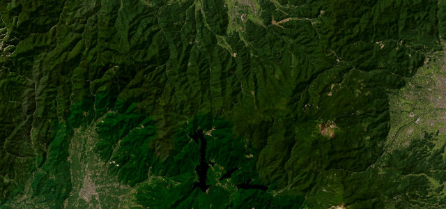
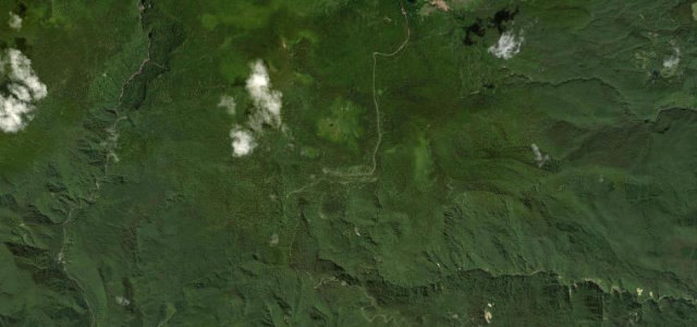
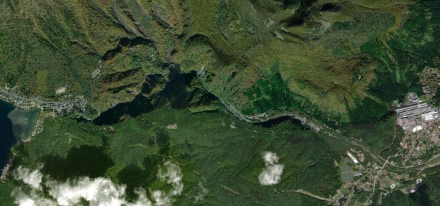
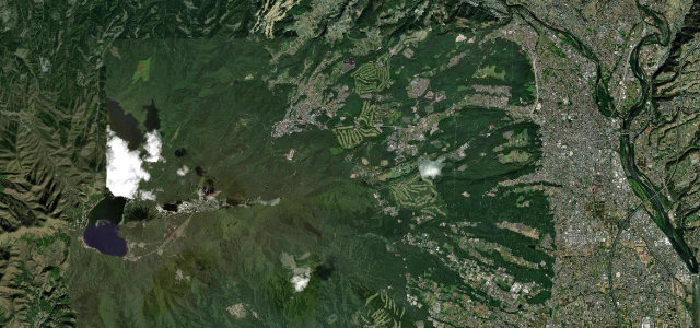
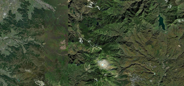
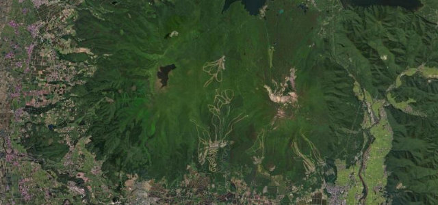
Now toll-free as part of Fukushima Prefectural Route 64, the Bandaisan Gold Line carves up the flank of Mount Bandai between the Omote-Bandai side above Lake Inawashiro and the Ura-Bandai plateau near Kitashiobara. It is a purpose-built sightseeing road of tight, tree-lined hairpins climbing through Aizu woodland, with marked overlooks where the cone of Bandai, the blue sheet of Lake Inawashiro and, on the back side, the lakes of Ura-Bandai come into view. It rewards a steady rhythm rather than speed, and autumn colour is the headline season. It passes a ski area and shuts for winter. Mind the full winter closure (roughly early November to late April), tight blind hairpins on the climb, and heavy foliage-season traffic queueing at the overlooks.
Where it runs10.2 mi · point to point
Navigate to the start: Apple Maps · Google Maps
Character
Corners
busiest around mile 2Elevation
under 4%4–8%over 8%497.1 – 1,198 mPoints of interest1 stop
- Happodai TrailheadLandmark7.2 mi in
Hazards
- Closed early November to late April
- Tight blind hairpins on the climb
- Foliage-season queues at overlooks
Is Bandai Gold Line open? Typical season and live summit weather ›
Sources
“The area surrounding the road is known as a foliage-viewing spot with hairpin curves that carve through the woodlands.”
Verified route: mapped from real road geometry and fact-checked by a human editor. How roads get checked
Driving the Bandai Gold Line: quick answers
How long does it take to drive the Bandai Gold Line?
How difficult is the Bandai Gold Line to drive?
When is the best time to drive the Bandai Gold Line?
Nearby roads
The closest great drives to Bandai Gold Line.