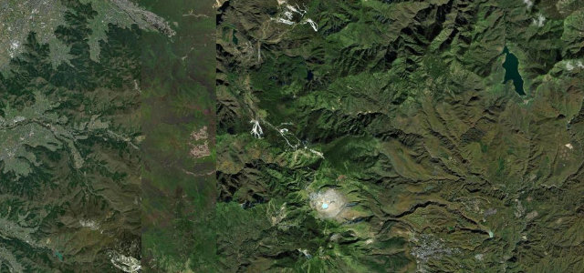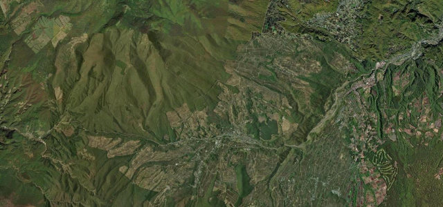
Fukushima / Yamagata · Japan
Nishi-Azuma Sky Valley
2Lake Hibara, Kitashiobara, Fukushima to Shirabu Onsen, Yonezawa, Yamagata
Hairpin mountain crossing from Lake Hibara over Shirabu Pass into Yamagata.
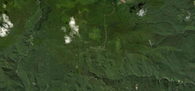
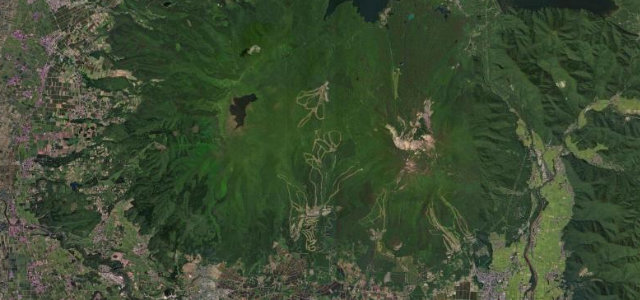
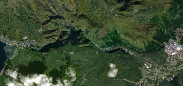
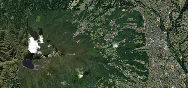
This 17.8 km former toll road, now part of Prefectural Route 2, climbs from the north shore of Lake Hibara in Urabandai over Shirabu Pass and drops into Shirabu Onsen near Yonezawa, with about 600 m of height change. The famous Higashi-Hachiyama seven bends offer a much-photographed view over Lake Hibara and Mt Bandai, and it ranks among Tohoku’s best autumn drives. It is open roughly late April to mid November only. Mind the tight stacked hairpins, leaf-peeping congestion in autumn, and early-season residual snow.
Where it runs23.7 mi · point to point
Navigate to the start: Apple Maps · Google Maps
Character
Corners
busiest around mile 9Elevation
under 4%4–8%over 8%309.1 – 1,421.5 mPoints of interest1 stop
- Shirabu FallsLandmark16 mi in
Hazards
- Tight stacked hairpins
- Autumn congestion
- Early-season snow
Sources
“As you go up or down the hairpin curves with Mount Bandai in your sights, Lake Hibara soon appears.”
Verified route: mapped from real road geometry and fact-checked by a human editor. How roads get checked
Driving the Nishi-Azuma Sky Valley: quick answers
How long does it take to drive the Nishi-Azuma Sky Valley?
How difficult is the Nishi-Azuma Sky Valley to drive?
When is the best time to drive the Nishi-Azuma Sky Valley?
Nearby roads
The closest great drives to Nishi-Azuma Sky Valley.