Fukushima · Japan
Bandai-Azuma Skyline
70Takayu Onsen, Fukushima City to Tsuchiyu Pass
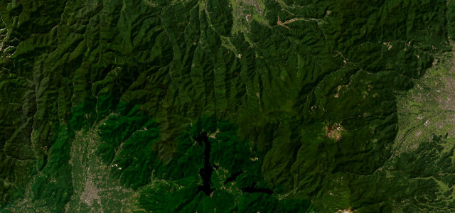
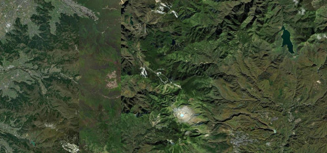
Volcanic skyline from Takayu Onsen over Jododaira to Tsuchiyu Pass in Fukushima.
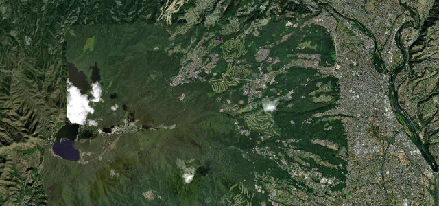
This 29 km former toll road threads between the Azuma peaks, topping out near Jododaira at about 1620 m past raw volcanic slopes, the Fudosawa Bridge over the Tsubakuro valley, and the Shirakaba-no-Mine overlook. It is one of the Tohoku region’s signature mountain drives, listed among Japan’s 100 best roads, with a spring snow corridor and strong autumn colour. The road is open roughly April to November only. Mind the volcanic gas zones where stopping is restricted, frequent fog, and tour buses.
Scenery
Best seasons
In these collections
Where it runs17.1 mi · point to point
Navigate to the start: Apple Maps · Google Maps
Character
More hairpins than 9 in 10 roads in the catalogue.
Corners
busiest around mile 5Elevation
under 4%4–8%over 8%785.8 – 1,620.3 mPoints of interest3 stops
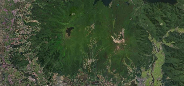
- Mount Azuma-KofujiPerfect conical volcano beside the skyline, climb the rim path for a deep crater and 360-degree views8.5 mi in
- Jododaira Rest HouseMidpoint rest stop with an observatory and a cafe serving local soba and ramen at 1600m8.5 mi in
- Maku Falls (Makutaki)White ribbon waterfall framed by beech forest, a short walk in from the skyline near Tsuchiyu12 mi in
Hazards
- Volcanic gas zones
- Mountain fog
- Tour buses
Sources
“The spectacular views that stretch out at an average altitude of 1,350 meters attract visitors time and time again.”
Verified route: mapped from real road geometry and fact-checked by a human editor. How roads get checked
Driving the Bandai-Azuma Skyline: quick answers
How long does it take to drive the Bandai-Azuma Skyline?
How difficult is the Bandai-Azuma Skyline to drive?
When is the best time to drive the Bandai-Azuma Skyline?
Nearby roads
The closest great drives to Bandai-Azuma Skyline.