Iwate / Akita · Japan
Hachimantai Aspite Line
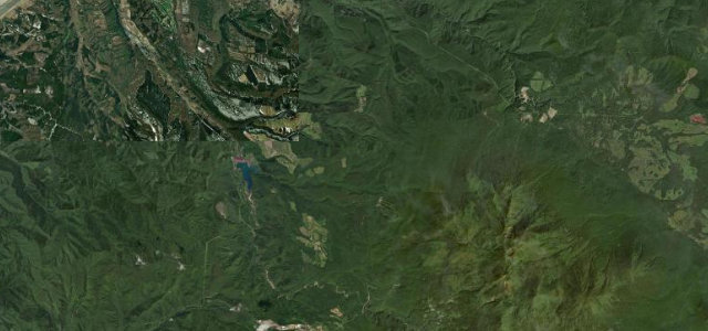
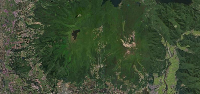
23Hachimantai (Matsuo) to Hachimantai summit area
A 27 km (about 16.8 mile) volcanic crossing of the Hachimantai plateau between Iwate and Akita, open from the spring Snow Corridor season to the last of the autumn koyo.
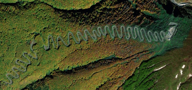
Climbing from the Matsuo side in Iwate over the shoulder of Mount Hachimantai and dropping toward National Route 341 in Akita, the Aspite Line strings together long sweepers and a handful of tighter bends across open alpine moorland. It is probably best known for the spring Snow Corridor, where ploughs cut walls said to be the longest in Japan, but the summer green and autumn koyo are arguably the better drive. The road is wide and well surfaced, so the appeal is scenery and rhythm rather than technical difficulty. It closes through winter, typically early November to mid April. Mind the seasonal gate closures, fog rolling off the crater ponds, and sightseeing buses stopping at the wetland car parks.
Where it runs18.0 mi · point to point
Navigate to the start: Apple Maps · Google Maps
Character
Corners
busiest around mile 15Elevation
under 4%4–8%over 8%457.7 – 1,575.4 mPoints of interest3 stops
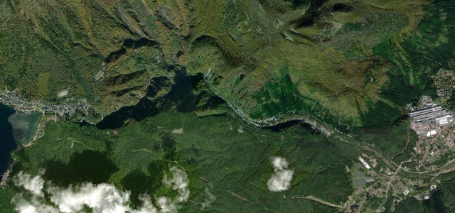
- Mikaeri PassViewpoint12 mi in
- Mt. ChausuViewpoint9.1 mi in
- HachimantaiViewpoint12 mi in
Hazards
- Seasonal winter closure (Nov to mid Apr)
- Sudden fog and low cloud near the summit
- Frequent sightseeing buses and stopped cars
Is Hachimantai Aspite Line open? Typical season and live summit weather ›
Sources
“From the fresh green in spring to the vivid color in autumn, the driver will have a hard time keeping their attention on the road with surroundings this beautiful.”
Verified route: mapped from real road geometry and fact-checked by a human editor. How roads get checked
Driving the Hachimantai Aspite Line: quick answers
How long does it take to drive the Hachimantai Aspite Line?
How difficult is the Hachimantai Aspite Line to drive?
When is the best time to drive the Hachimantai Aspite Line?
Nearby roads
The closest great drives to Hachimantai Aspite Line.