Aomori · Japan
Hakkoda-Towada Gold Line (Route 103)
103Sukayu Onsen, Aomori to Jogakura, Aomori
The Hakkoda crossing on Route 103 past Sukayu Onsen, famous for spring snow walls and autumn beech.
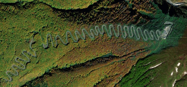
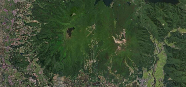
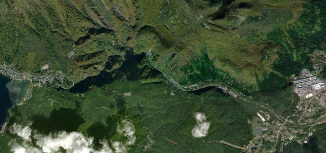
This is the mountain section of National Route 103 over the Hakkoda massif south of Aomori City, promoted as the Hakkoda-Towada Gold Line on its way toward Lake Towada. The road threads dense beech and Maries' fir forest with steady hairpins as it climbs to the highlands around Sukayu Onsen, the historic lone hot spring it connects through, then continues south past Yachi Onsen. It is best known for two seasons: spring, when the freshly cleared road runs between towering snow walls, and mid-October, when the Hakkoda and Jogakura slopes turn gold and crimson. The driving is a classic forested touge of linked switchbacks rather than open sweepers. The high section closes for winter and reopens around April. Mind the long winter closure and late-spring snow walls narrowing the lanes, frequent fog and sulphur steam near Sukayu, and slow sightseeing buses on the hairpins.
Where it runs7.4 mi · point to point
Navigate to the start: Apple Maps · Google Maps
Character
Corners
busiest around mile 6Elevation
under 4%4–8%over 8%435.4 – 809.6 mPoints of interest3 stops
- Sukayu OnsenHistoric 340-year-old hot spring with the huge hiba-wood Hiba Sennin Buro public bath, at the southern start of the roadat the start
- Jogakura BridgeJapan's tallest deck-arch bridge at 122m, with panoramas over the Hakkoda mountains, Mount Iwaki and Aomori city0.3 mi in
- Hakkoda RopewayCable car up Mount Tamoyachi for sweeping mountain views and the winter snow monsters, just off the road2.7 mi in
Hazards
- Winter closure with lane-narrowing spring snow walls
- Fog and sulphur steam near Sukayu Onsen
- Slow sightseeing buses on the hairpins
Is Hakkoda-Towada Gold Line (Route 103) open? Typical season and live summit weather ›
Sources
“Route 103, whether driven or walked, and the natural surroundings are astonishingly beautiful.”
Verified route: mapped from real road geometry and fact-checked by a human editor. How roads get checked
Driving the Hakkoda-Towada Gold Line (Route 103): quick answers
How long does it take to drive the Hakkoda-Towada Gold Line (Route 103)?
How difficult is the Hakkoda-Towada Gold Line (Route 103) to drive?
When is the best time to drive the Hakkoda-Towada Gold Line (Route 103)?
Nearby roads
The closest great drives to Hakkoda-Towada Gold Line (Route 103).