Miyazaki / Kagoshima · Japan
Kirishima Kogen Road (Ebino-Maruo)
1Ebino Plateau to Maruo Onsen (Kirishima)
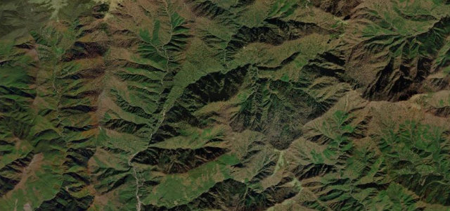
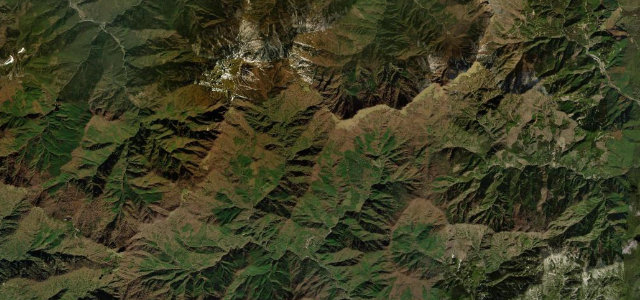
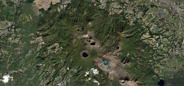
A volcanic highland traverse from the Ebino Plateau down to Maruo Onsen, winding among steaming peaks and crater lakes of the Kirishima range.
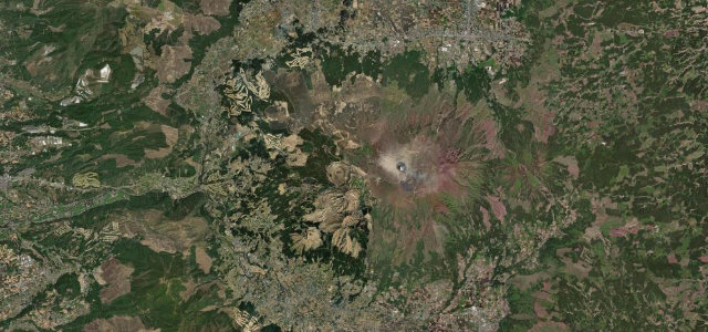
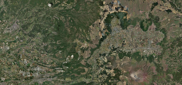
Kagoshima and Miyazaki Prefectural Route 1 climbs to the Ebino Plateau at around 1200 m and then descends through the heart of the Kirishima volcanic range toward Maruo Onsen and National Route 223. The drive strings together steady curves and elevation change with views of Mount Karakuni and Mount Takachiho, crater lakes, and steam rising from the active fields, cooling and refreshing even in summer. Traffic is usually light, which makes it a relaxed but spectacular touring road through one of Kyushu’s signature landscapes. Note that volcanic alert levels can close sections near active vents at short notice. Mind the volcanic restrictions near Mount Shinmoe, sulphur fog and low cloud on the plateau, and deer on the road at dawn and dusk.
Scenery
Best seasons
In these collections
In these guides
Where it runs15.9 mi · point to point
Navigate to the start: Apple Maps · Google Maps
Character
Corners
busiest around mile 4Elevation
under 4%4–8%over 8%519.5 – 1,251.4 mPoints of interest1 stop
- Mt. IoViewpoint7.9 mi in
Hazards
- Volcanic alert closures near active vents
- Sulphur fog and low cloud on the plateau
- Deer on the road at dawn and dusk
See the typical season and live conditions for the high passes ›
Sources
“霧島の山と高原がおりなす独特な風景。”
Verified route: mapped from real road geometry and fact-checked by a human editor. How roads get checked
Driving the Kirishima Kogen Road (Ebino-Maruo): quick answers
How long does it take to drive the Kirishima Kogen Road (Ebino-Maruo)?
How difficult is the Kirishima Kogen Road (Ebino-Maruo) to drive?
When is the best time to drive the Kirishima Kogen Road (Ebino-Maruo)?
Nearby roads
The closest great drives to Kirishima Kogen Road (Ebino-Maruo).