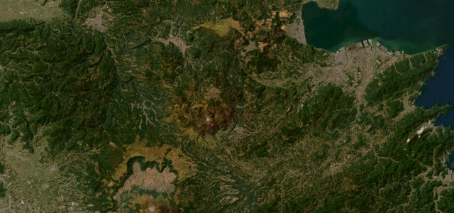
Ehime · Japan
Ishizuchi Skyline
12Omogo Gorge, Kumakogen to Tsuchigoya, Ehime
Former toll climb from Omogo Gorge to Tsuchigoya below western Japan’s highest peak.
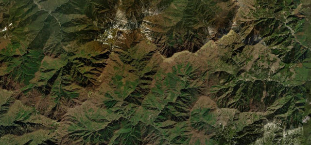
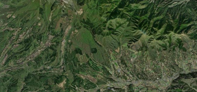
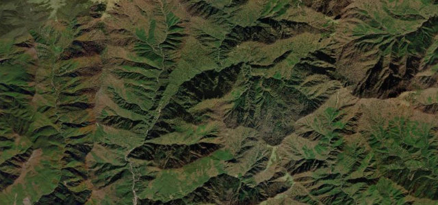
The Ishizuchi Skyline is an 18 km former toll road rising from the Omogo Gorge gateway to Tsuchigoya at about 1500 m, on the south side of Mt Ishizuchi, the highest mountain in western Japan. It is a flowing climb with good sightlines and panoramic views, popular with drivers and cyclists and a natural pairing with the UFO Line. The road closes in winter, roughly December to March. Mind cyclists on the climbs, falling rock after rain, and the late-day cloud build-up.
Where it runs10.0 mi · point to point
Navigate to the start: Apple Maps · Google Maps
Character
Corners
busiest around mile 1Elevation
under 4%4–8%over 8%657.9 – 1,440.4 mPoints of interest2 stops
- MarutakisanViewpoint10 mi in
- IwakurosanViewpoint10 mi in
Hazards
- Cyclists on climbs
- Falling rock
- Afternoon cloud
Sources
“The route presents drivers with a continuing succession of pleasantly winding curves, so drivers should take care not to unintentionally raise their speed as they drive!”
Verified route: mapped from real road geometry and fact-checked by a human editor. How roads get checked
Driving the Ishizuchi Skyline: quick answers
How long does it take to drive the Ishizuchi Skyline?
How difficult is the Ishizuchi Skyline to drive?
When is the best time to drive the Ishizuchi Skyline?
Nearby roads
The closest great drives to Ishizuchi Skyline.