Kumamoto · Japan
Aso Panorama Line
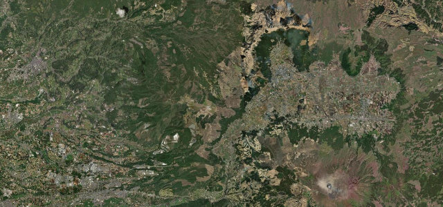
111Aso City, Kumamoto to Nakadake crater area
Grassland climb from Aso City into the Aso caldera toward the active Nakadake crater.
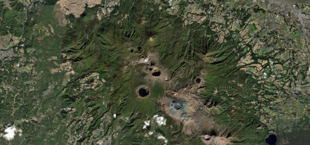
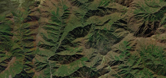
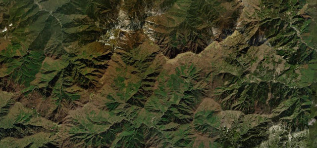
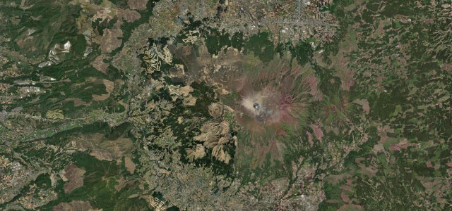
Kumamoto Prefectural Route 111 climbs from Aso City up through the vast caldera grasslands past Kusasenri and Komezuka toward the smoking Nakadake crater, one of the few roads that brings you this close to an active volcano. The open sightlines and Aso Five Peaks views make it a signature Kyushu drive on Japan’s 100 best roads. Access to the crater rim can close at short notice for volcanic activity. Mind sudden crater-area closures and gas alerts, fog on the grasslands, and tour-bus traffic.
Scenery
Best seasons
In these collections
Where it runs16.6 mi · point to point
Navigate to the start: Apple Maps · Google Maps
Character
Corners
busiest around mile 6Elevation
under 4%4–8%over 8%491.3 – 1,162.8 mPoints of interest3 stops
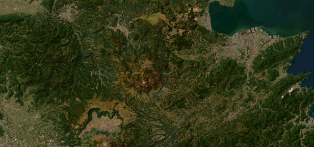
- Kusasenri ObservatoryLandmark7.7 mi in
- Mt. OkamadoViewpoint11 mi in
- Mt. Kishima-dakeViewpoint7.2 mi in
Hazards
- Volcanic closures and gas
- Grassland fog
- Tour buses
See the typical season and live conditions for the high passes ›
Sources
“Milk Road along the ridge of the northern outer rim and the Aso Panorama Line running north–south through the caldera are among Japan's most spectacular driving routes.”
Verified route: mapped from real road geometry and fact-checked by a human editor. How roads get checked
Driving the Aso Panorama Line: quick answers
How long does it take to drive the Aso Panorama Line?
How difficult is the Aso Panorama Line to drive?
When is the best time to drive the Aso Panorama Line?
Nearby roads
The closest great drives to Aso Panorama Line.