Kumamoto · Japan
Aso Milk Road (Daikanbo)
339Ozu (north caldera rim) to Daikanbo, Aso
A dairy-pasture rim road along Aso’s northern caldera wall, climbing to the Daikanbo overlook.
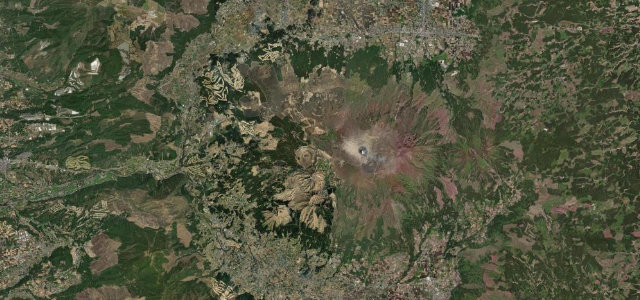
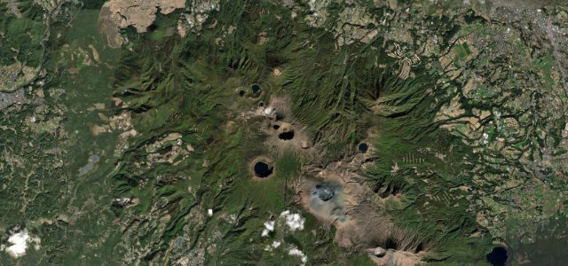
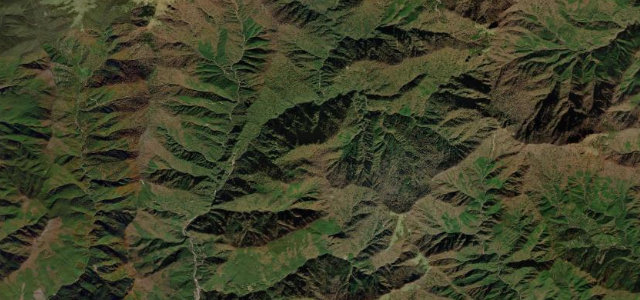
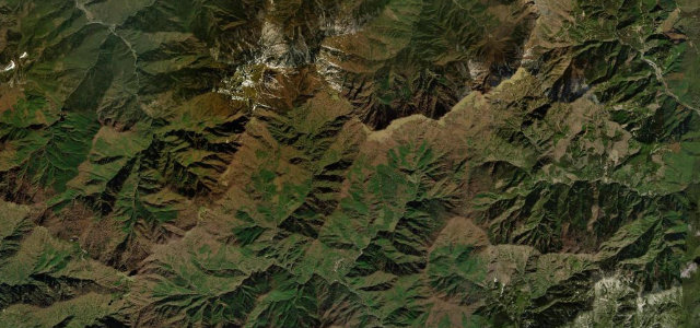
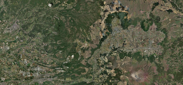
Nicknamed the Milk Road for its origins hauling milk down from the highland dairy farms, this is Kumamoto Prefectural Route 339 (with connecting stretches) running along the northern outer rim of the vast Aso caldera. From the Ozu and Otsu side it climbs through rolling green pasture before tracing the rim toward the Daikanbo overlook, where the Five Peaks of Aso, the caldera floor and the distant Kuju range open up in one sweep. The driving is flowing and grassy rather than technical, with long sight lines broken by the odd tighter rim bend, which makes it a favourite touring road and stargazing spot. It is open year-round but exposed up top. Mind free-roaming and crossing cattle, thick caldera mist that can drop visibility fast, and winter ice on the shaded rim sections.
Where it runs17.3 mi · point to point
Navigate to the start: Apple Maps · Google Maps
Character
Corners
busiest around mile 6Elevation
under 4%4–8%over 8%211.5 – 963.5 mPoints of interest1 stop
- Daikanbo LookoutObservatory on the north caldera rim with a sweeping panorama of the Aso Five Peaks and grassland17 mi in
Hazards
- Free-roaming cattle on the carriageway
- Rapid caldera mist
- Winter ice on shaded rim sections
Sources
“I challenge you to find a more scenic drive in Kumamoto Prefecture than the Milk Road, which traces the edge of the old Aso caldera.”
Verified route: mapped from real road geometry and fact-checked by a human editor. How roads get checked
Driving the Aso Milk Road (Daikanbo): quick answers
How long does it take to drive the Aso Milk Road (Daikanbo)?
How difficult is the Aso Milk Road (Daikanbo) to drive?
When is the best time to drive the Aso Milk Road (Daikanbo)?
Nearby roads
The closest great drives to Aso Milk Road (Daikanbo).