Tokushima · Japan
Iya Valley Road
32Oboke, Miyoshi to Ochiai (Higashi-Iya), Tokushima
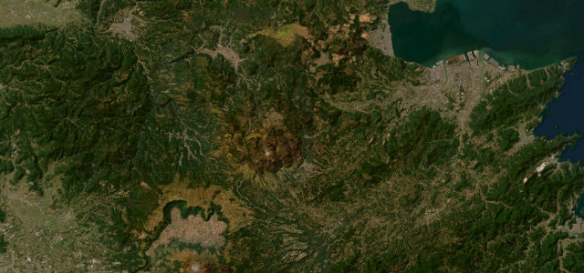
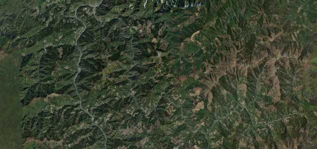
Fifteen miles and 180 corners of mostly one-lane cliff road through the Iya Valley, past the Peeing Boy statue, the Kazurabashi vine bridge and the thatched village of Ochiai.
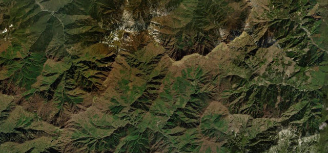
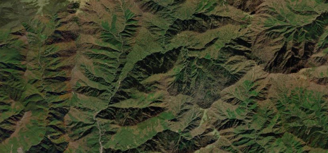
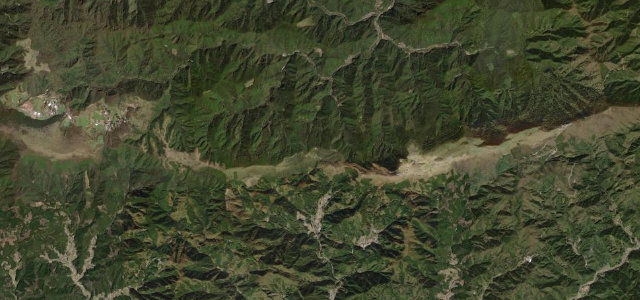
Prefectural Route 32 climbs from the Oboke gorge entrance along the cliffsides of the Iya Valley, past the Peeing Boy statue lookout, the Kazurabashi vine bridge and the thatched village of Ochiai deep in western Tokushima. Long called one of Japan’s last unexplored regions, it is a slow, twisting drive through dramatic ravines and traditional mountain hamlets. Much of it is one lane with steep drops and occasional rockfall traffic controls. Mind the single-lane cliff edges, oncoming traffic on blind bends, and rockfall after rain.
Where it runs15.3 mi · point to point
Navigate to the start: Apple Maps · Google Maps
Character
Corners
busiest around mile 5Elevation
under 4%4–8%over 8%160.5 – 514.2 mPoints of interest3 stops
- Hi-no-Ji Bend ViewpointViewpoint6.5 mi in
- Manpu GorgeViewpoint15 mi in
- Biwa-no-takiLandmark10 mi in
Hazards
- Single-lane cliff edges
- Blind-bend oncoming traffic
- Rockfall after rain
Sources
“A twisty, mostly one-laned road meanders 20 km through this section ('old' Route 32, aka "Iya Highway"), and allows for sweeping vista views and a Mario-Cart driving experience.”
Verified route: mapped from real road geometry and fact-checked by a human editor. How roads get checked
Driving the Iya Valley Road: quick answers
How long does it take to drive the Iya Valley Road?
How difficult is the Iya Valley Road to drive?
When is the best time to drive the Iya Valley Road?
Nearby roads
The closest great drives to Iya Valley Road.