Jeju · South Korea
1100 Road (Jeju)
1100Jeju City to Seogwipo
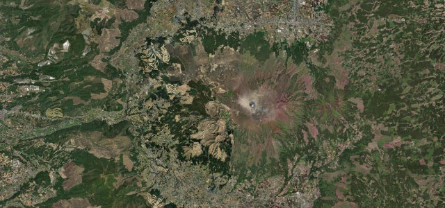
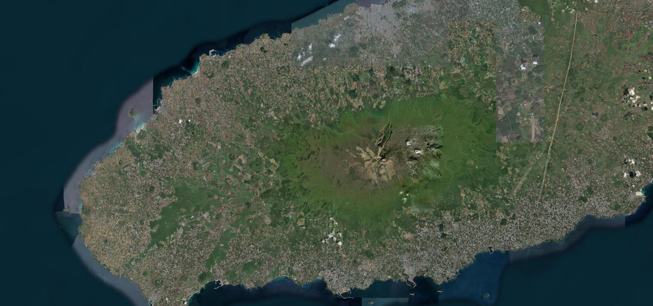
Korea’s highest drivable road crosses the shoulder of Hallasan at 1,100 m, the UNESCO volcano that fills the centre of Jeju Island, linking Jeju City to the Jungmun coast.
Provincial road 1139, universally called the 1100 Road, bisects Jeju north to south across Hallasan’s flanks, cresting at the 1100 Highland wetland (a Ramsar bog with a boardwalk and island-wide views) before descending through national-park forest to the Jungmun resort coast. Cherry blossoms in spring, maples in autumn, a snow-capped Hallasan in winter.
Scenery
Where it runs
Navigate to the start: Apple Maps · Google Maps
Character
Elevation
under 4%4–8%over 8%69 – 1,075 mHazards
- closures in heavy snow or strong wind
- icy surface in winter without chains
- weekend congestion
See the typical season and live conditions for the high passes ›
Sources: Road geometry © OpenStreetMap contributors
Nearby roads
The closest great drives to 1100 Road (Jeju).