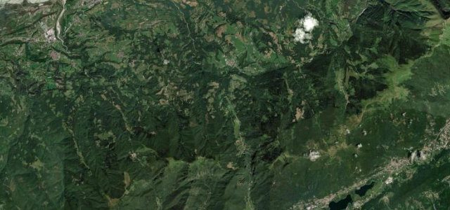
Veneto · Italy
Passo San Boldo
SP635Borgo Valbelluna to Cison di Valmarino
A tiny pass of stacked hairpins built through the rock in 1918.
The SP635 over the Passo San Boldo north of Treviso climbs a wall of stacked switchbacks threaded through short tunnels cut into the cliff, a remarkable bit of road built in months during the First World War. Narrow and one-way-controlled in places; mind the single-lane tunnels, the tight hairpins, and oncoming traffic.
Where it runs7.0 mi · point to point
Borgo ValbellunaStart · Veneto
Cison di ValmarinoEnd · Veneto
Navigate to the start: Apple Maps · Google Maps
Character
Corners18bends
Tightness9of 10
Max gradient12%≈ 1-in-8
Hairpins15tight bends
Climb382 mapproximate · DEM-limited
Summit725.5 mapproximate · DEM-limited
Corners
busiest around mile 5Elevation
approximateunder 4%4–8%over 8%394.9 – 725.5 mFrom the road
Points of interest2 stops
- Passo San BoldoViewpoint4.6 mi in
- Punta SignaViewpoint3.8 mi in
Hazards
- Single-lane tunnels with traffic control
- Very tight hairpins
- Oncoming traffic
Sources
“The road is brutally steep in parts, with a maximum gradient of 37% through some of the ramps.”
Verified route: mapped from real road geometry and fact-checked by a human editor. How roads get checked
Driving the Passo San Boldo: quick answers
How long does it take to drive the Passo San Boldo?
Passo San Boldo runs 7.0 miles (11.3 km) and takes about 17 min to drive without stops.
How difficult is the Passo San Boldo to drive?
We rate it demanding: 18 corners including 15 hairpins, a maximum gradient of 12%, and a tightness of 9 out of 10.
When is the best time to drive the Passo San Boldo?
Spring and Summer and Autumn are best.
Nearby roads
The closest great drives to Passo San Boldo.
Passo San Boldo
DirectionsGet the app