Sierra de Guadarrama · Spain
Puerto de Navacerrada
M-601Navacerrada to Puerto de Navacerrada
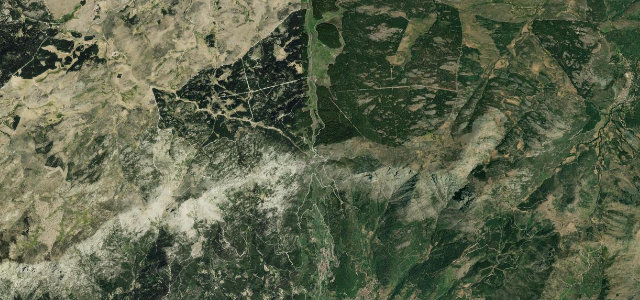
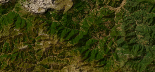
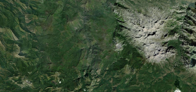
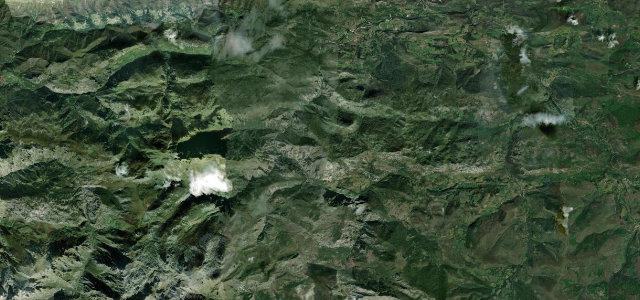
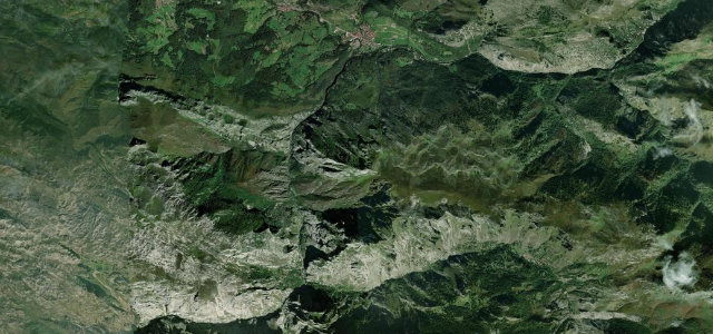
The pass closest to Madrid, Puerto de Navacerrada at 1,858 m, climbs through the densest Scots pine forest in Spain to a saddle famous for the Siete Revueltas, seven sharp hairpins that enthusiasts treat as a proving ground.
From Navacerrada village the M-601 climbs steadily through the Valsaín pine forest with the granite crags of Siete Picos visible through the trees to the 1,858 m summit on the Madrid-Segovia boundary. Continuing on the CL-601 toward Segovia, the road drops through the Siete Revueltas, seven hairpins in quick succession, before a long forest descent.
Where it runs
Navigate to the start: Apple Maps · Google Maps
Character
Elevation
under 4%4–8%over 8%1,186 – 1,860 mPoints of interest
- Puerto de NavacerradaViewpoint
- Collado del PortazgoViewpoint
- Collado de los EmburriaderosViewpoint
Hazards
- Siete Revueltas, seven tight consecutive hairpins on the Segovia descent
- Heavy weekend and ski traffic
- Ice and snow November to March
- Fast motorcyclists on blind bends
Sources: Road geometry © OpenStreetMap contributors
Nearby roads
The closest great drives to Puerto de Navacerrada.