England · United Kingdom
Trough of Bowland
Dunsop Bridge to Lancaster
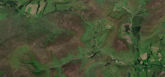
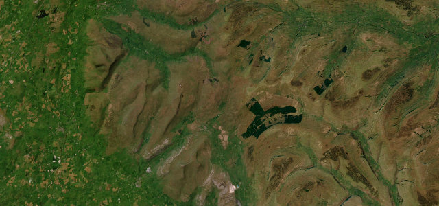
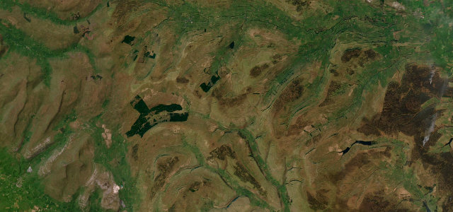
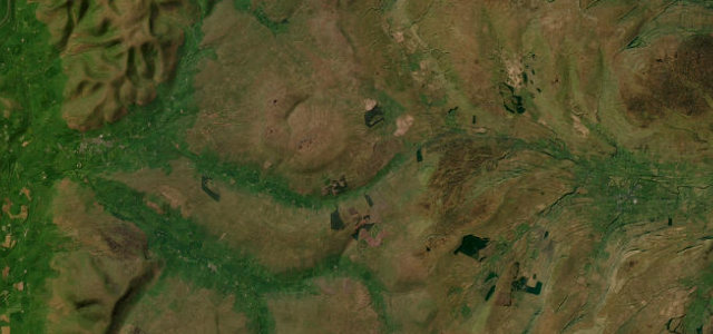
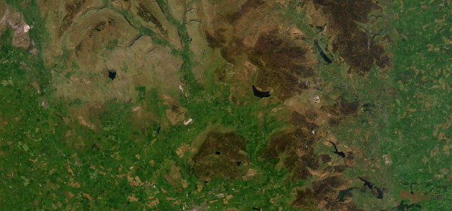
Narrow, gated and 295 metres up at its highest, the Trough climbs from a steep wooded valley onto open gritstone moor facing Morecambe Bay.
This narrow road crosses a high pass reaching 295 metres at the heart of the Forest of Bowland, linking Lancaster with Dunsop Bridge and Clitheroe. It climbs through a steep wooded valley before opening onto wide gritstone moorland with views toward Morecambe Bay. Mind the narrow gated sections, steep descents and sheep grazing on the open fell.
Where it runs5.8 mi · point to point
Dunsop BridgeStart · England
LancasterEnd · England
Navigate to the start: Apple Maps · Google Maps
Character
Corners38bends
Tightness6of 10
Max gradient17%≈ 1-in-6
Climb205 mtotal ascent
Summit316.1 mhighest point of the line · 1,037 ft
Corners
busiest around mile 3Elevation
under 4%4–8%over 8%123.6 – 316.1 mPoints of interest3 stops
- Trough of BowlandViewpoint3.2 mi in
- Bracken HillViewpoint2.2 mi in
- Sykes NabViewpoint1.4 mi in
Hazards
- Narrow gated road sections
- Sheep on open fell
- Steep wooded descents
Sources
“the single-track pass threads the needle through a beguiling valley where blind crests and sweeping bends keep you guessing”
Verified route: mapped from real road geometry and fact-checked by a human editor. How roads get checked
Driving the Trough of Bowland: quick answers
How long does it take to drive the Trough of Bowland?
Trough of Bowland runs 5.8 miles (9.3 km) and takes about 12 min to drive without stops.
How difficult is the Trough of Bowland to drive?
We rate it moderate: 38 corners, a maximum gradient of 17%, and a tightness of 6 out of 10.
When is the best time to drive the Trough of Bowland?
Spring and Summer and Autumn are best.
Nearby roads
The closest great drives to Trough of Bowland.
Trough of Bowland
DirectionsGet the app