Yad Moss
B6277Alston to Middleton-in-Teesdale · Cumbria / County Durham (North Pennines)
Distance16.9mi · 27 km
Drive time32 minon the road
DifficultyModerate
MoorlandMountainValley
Britain's highest B-road over the North Pennines between Alston and Teesdale.
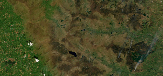
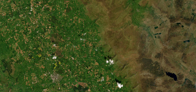
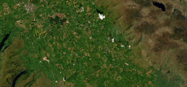
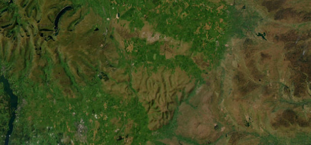
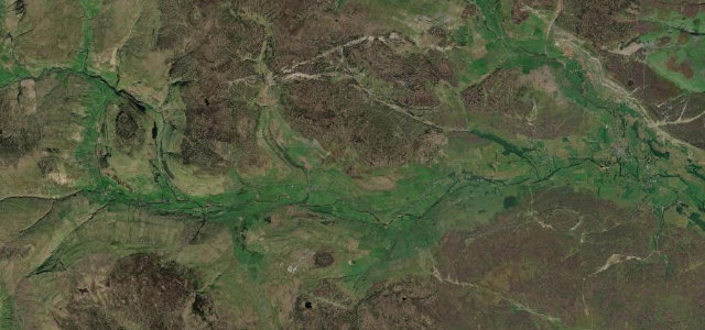
The B6277 climbs over Yad Moss to about 599m on the Cumbria and County Durham border, reputedly the highest B-road in Britain, running the roughly 21 miles from Alston down through Upper Teesdale to Middleton-in-Teesdale. It is a heavily undulating, sweeping moorland drive with long sightlines and steep dips across some of the bleakest, emptiest country in England. Mind regular winter snow closures and drifting, livestock on the unfenced moor, and sharp dips and crests that hide oncoming traffic.
Where it runs
AlstonStart · Cumbria / County Durham (North Pennines)
Middleton-in-TeesdaleEnd · England
Character
Corners28bends
Tightness4of 10
Max gradient12%≈ 1-in-8
Hairpins0tight bends
Climb304 mtotal ascent
Summit602 mhighest point · 1975 ft
SpringSummerAutumn
Elevation
284 m rangeKnow before you go
- Winter snow and drifting
- Unfenced livestock
- Hidden dips and crests
Sources
In these collections
Nearby roads
The closest great drives to Yad Moss.