Day-trip range
Driving roads near Cambridge
7 great driving roads within 100 miles of Cambridge, hand-picked and fact-checked. The closest is Box Hill Zig Zag Road, 68 miles out. Distances are straight-line, so drive times will vary.
 Ashbourne to Buxton21 mi · 38 min · 12 cornersView the roadbook ›
The roads, closest first
Near other cities
All 130 roads in the United Kingdom ›
Driving near Cambridge: common questions
What is the best driving road near Cambridge?
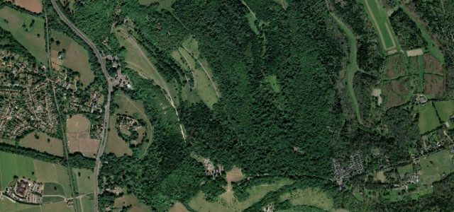
Ashbourne to Buxton, about 96 miles from Cambridge as the crow flies. A high, open ridge road across the White Peak plateau.
How many great driving roads are within 100 miles of Cambridge?
7 of the roads in our catalogue pass within 100 miles of Cambridge, every one mapped from real road geometry and fact-checked.
What is the closest great driving road to Cambridge?
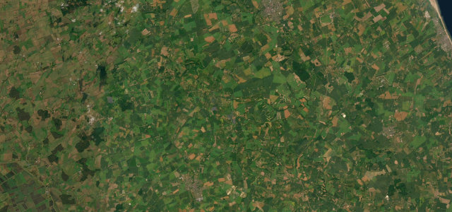
Box Hill Zig Zag Road, about 68 miles away. Surrey’s switchback climb, the 2012 Olympic road-race hill near Dorking.