Day-trip range
Driving roads near Nottingham
28 great driving roads within 100 miles of Nottingham, hand-picked and fact-checked. The closest is Ashbourne to Buxton, 24 miles out. Distances are straight-line, so drive times will vary.
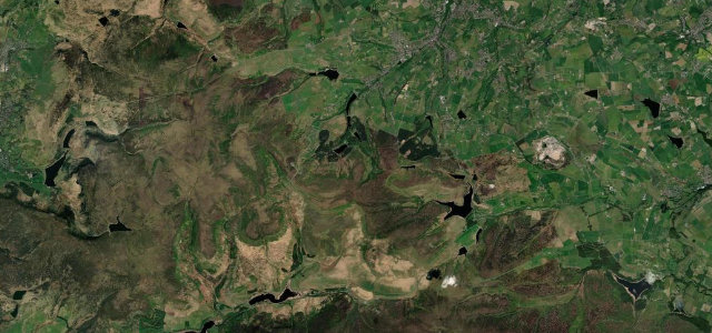
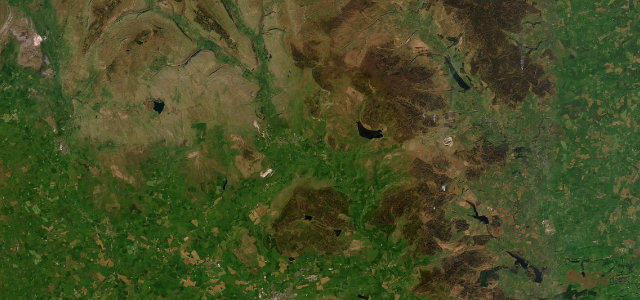
 Snake Pass15 mi · 31 min · 503 m summitView the roadbook ›
The roads, closest first
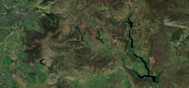
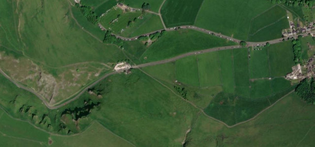
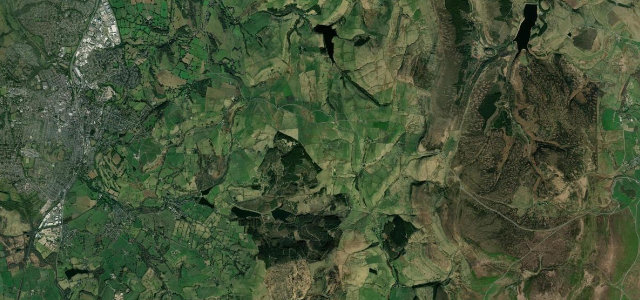
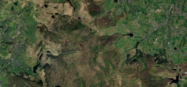
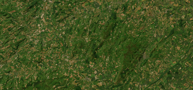
Ashbourne to Buxton
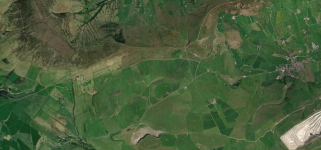
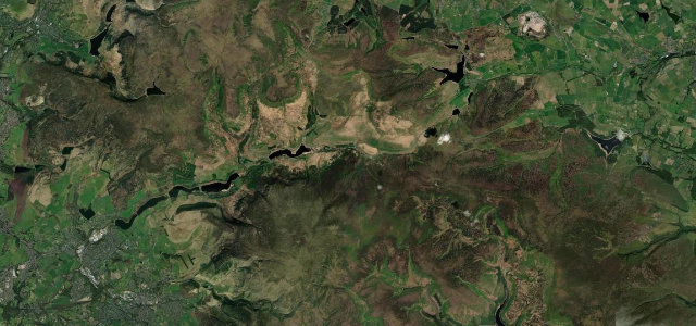
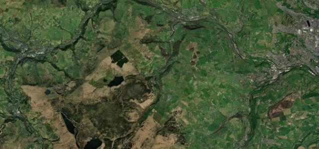
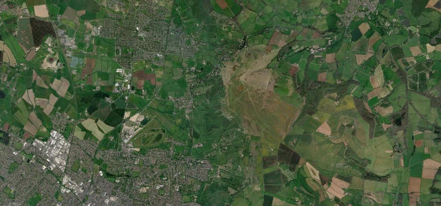
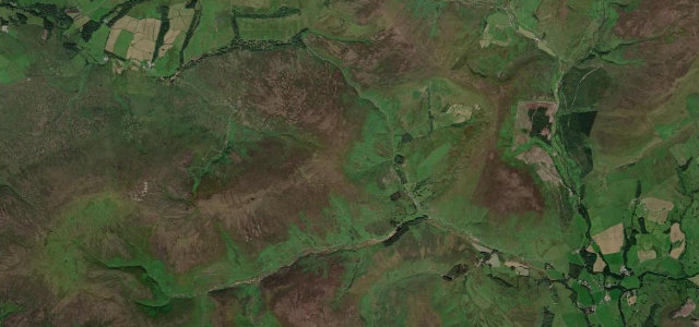
Hope Valley
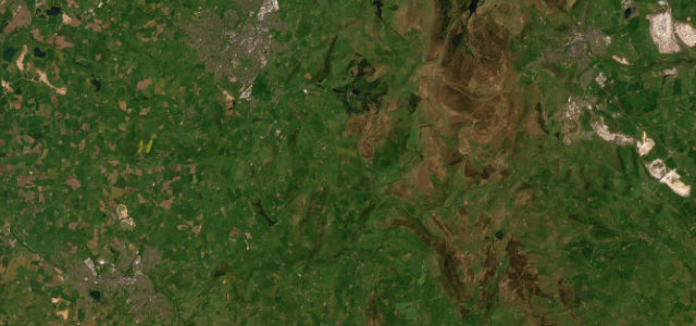
The Roaches
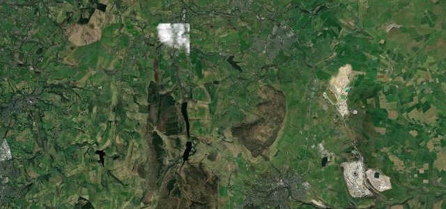
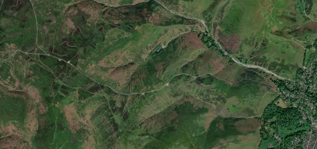
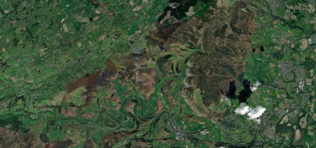
Winnats Pass
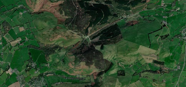
Mam Tor and Rushup Edge
Congleton to Buxton
Long Hill
Cat and Fiddle
Woodhead Pass
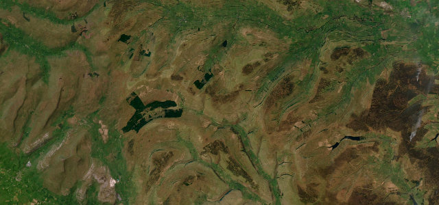
Holme Moss
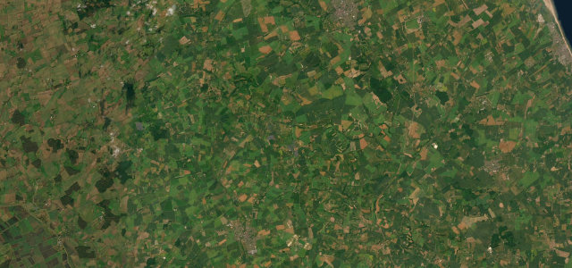
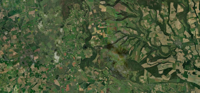
Lincolnshire Wolds
Isle of Skye Road
Cragg Vale
The Burway over the Long Mynd
Wharfedale
Shropshire Hills
Cleeve Hill
Horseshoe Pass
Bwlch Penbarras
Sutton Bank
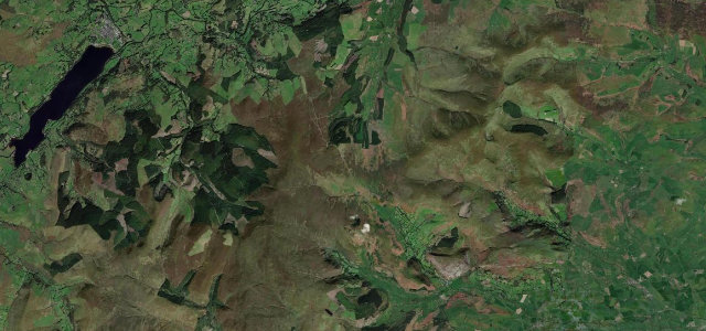
Trough of Bowland
Fleet Moss
Milltir Cerrig
All 713 roads in the catalogue ›
Near other cities
All 130 roads in the United Kingdom ›
Driving near Nottingham: common questions
What is the best driving road near Nottingham?
Snake Pass, about 37 miles from Nottingham as the crow flies. The A57 traverses the high Pennine moors between Manchester and the Hope Valley.
How many great driving roads are within 100 miles of Nottingham?
28 of the roads in our catalogue pass within 100 miles of Nottingham, every one mapped from real road geometry and fact-checked.
What is the closest great driving road to Nottingham?
Ashbourne to Buxton, about 24 miles away. A high, open ridge road across the White Peak plateau.