Day-trip range
Driving roads near Oxford
18 great driving roads within 100 miles of Oxford, hand-picked and fact-checked. The closest is Cleeve Hill, 34 miles out. Distances are straight-line, so drive times will vary.
 Cheddar Gorge3 mi · 5 min · 12 cornersView the roadbook ›
The roads, closest first
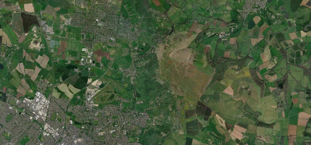
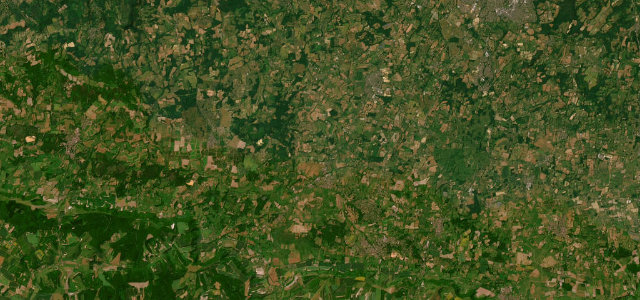
Cleeve Hill
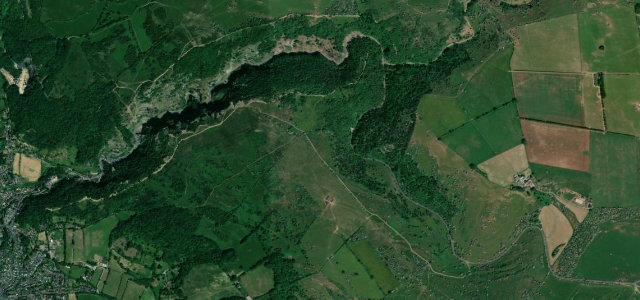
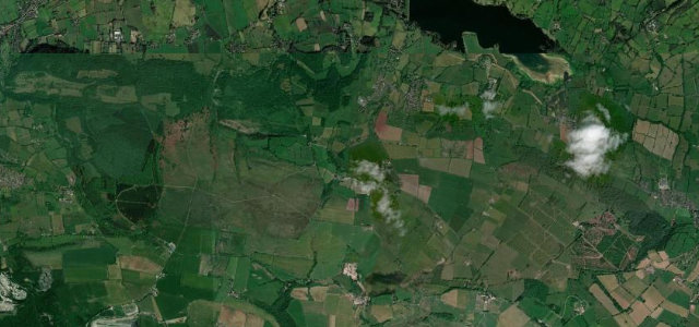
South Downs
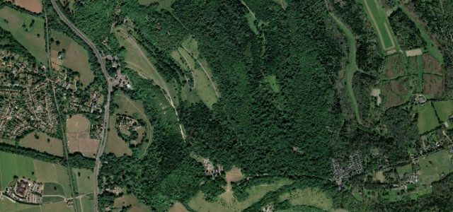
Box Hill Zig Zag Road
Sussex Weald
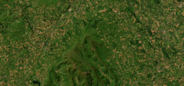
Burrington Combe
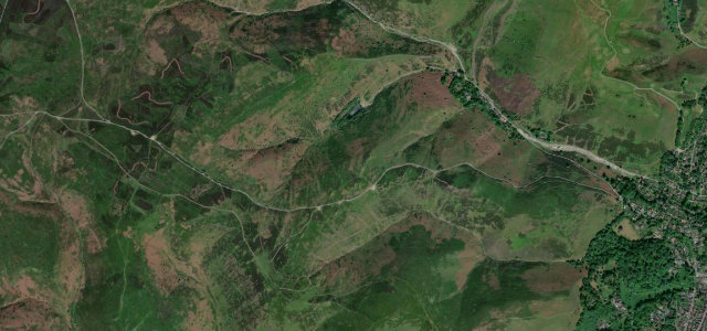
Gospel Pass
The Burway over the Long Mynd
Ashbourne to Buxton
Shropshire Hills
Brecon Beacons Pass
Mynydd Epynt
Jurassic Coast Road
Hirwaun to Beacon Reservoir
Llandovery to Builth
Bwlch Mountain Road
The Roaches
Upper Swansea Valley
Near other cities
All 130 roads in the United Kingdom ›
Driving near Oxford: common questions
What is the best driving road near Oxford?
Cheddar Gorge, about 71 miles from Oxford as the crow flies. Britain’s grandest limestone gorge, the B3135 winding beneath 137-metre cliffs.
How many great driving roads are within 100 miles of Oxford?
18 of the roads in our catalogue pass within 100 miles of Oxford, every one mapped from real road geometry and fact-checked.
What is the closest great driving road to Oxford?
Cleeve Hill, about 34 miles away. Escarpment road over the highest Cotswold point